Uppbeat

Somerset Wildfire Aftermath Near Lake

Arthur Cauty

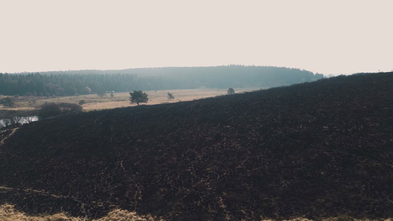
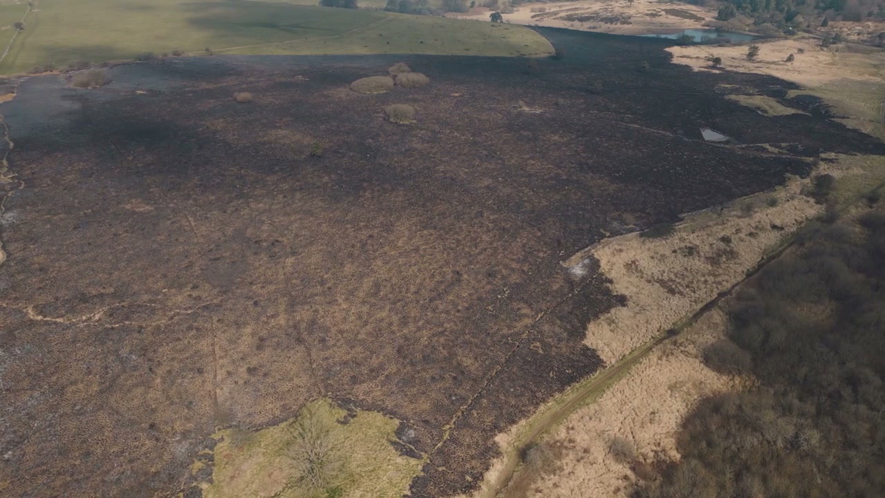
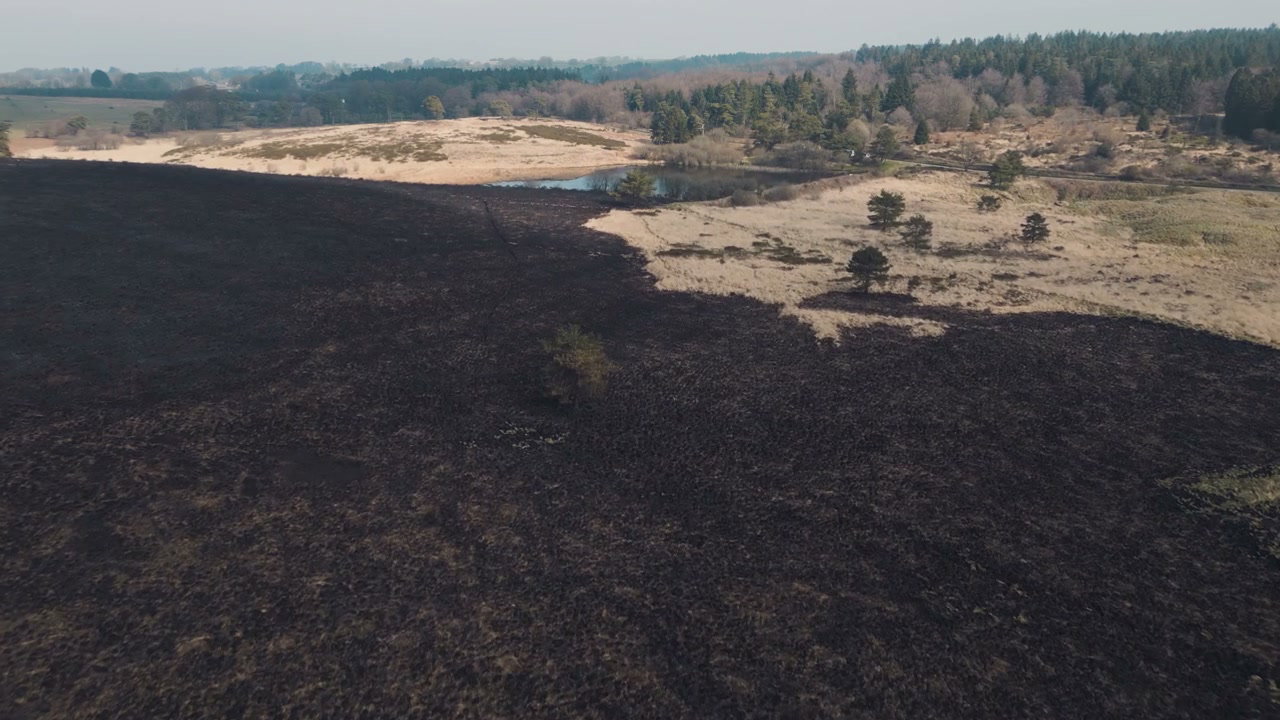
An aerial drone perspective captures the stark aftermath of a wildfire, showing scorched dark ground contrasting with green and brown fields alongside a tranquil lake and distant forest.

From this shoot

Burnt Moorland After Wildfire From Above

Burnt Moorland After Wildfire From Above

Aerial View Burnt Moorland After Wildfire

Aerial View Burnt Moorland After Wildfire

Burnt Landscape After Wildfire in Somerset

Burnt Landscape After Wildfire in Somerset

Aerial View of Scorched Wildfire Land

Aerial View of Scorched Wildfire Land

You may also like

Aerial View of Flooded Fields Near Glastonbury Tor

Aerial View of Flooded Fields Near Glastonbury Tor

Aerial Sunset Over Chew Valley Lake

Aerial Sunset Over Chew Valley Lake

Glastonbury Tor And Rural English Landscape

Glastonbury Tor And Rural English Landscape

Aerial View of Glastonbury Tor

Aerial View of Glastonbury Tor

Aerial View of Glastonbury Tor

Aerial View of Glastonbury Tor

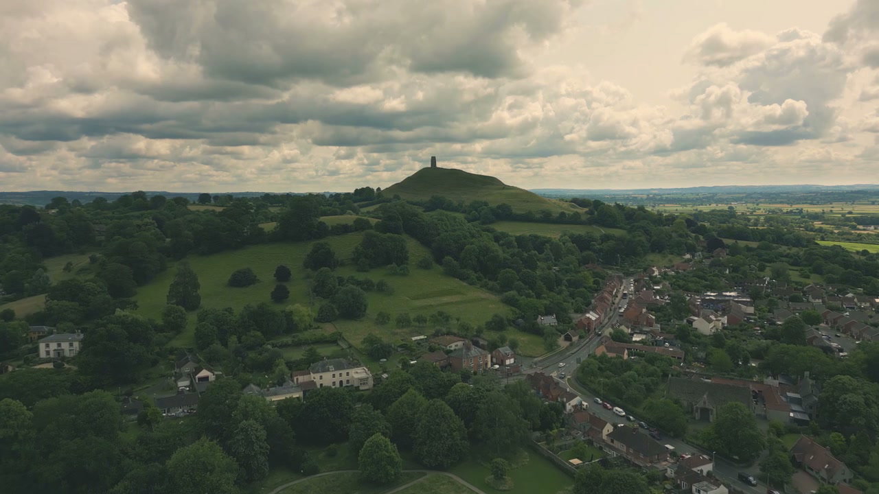
Aerial View of Glastonbury Tor and Village

Aerial View of Glastonbury Tor and Village

Aerial View of Flooded Fields Near Glastonbury Tor

Aerial View of Flooded Fields Near Glastonbury Tor

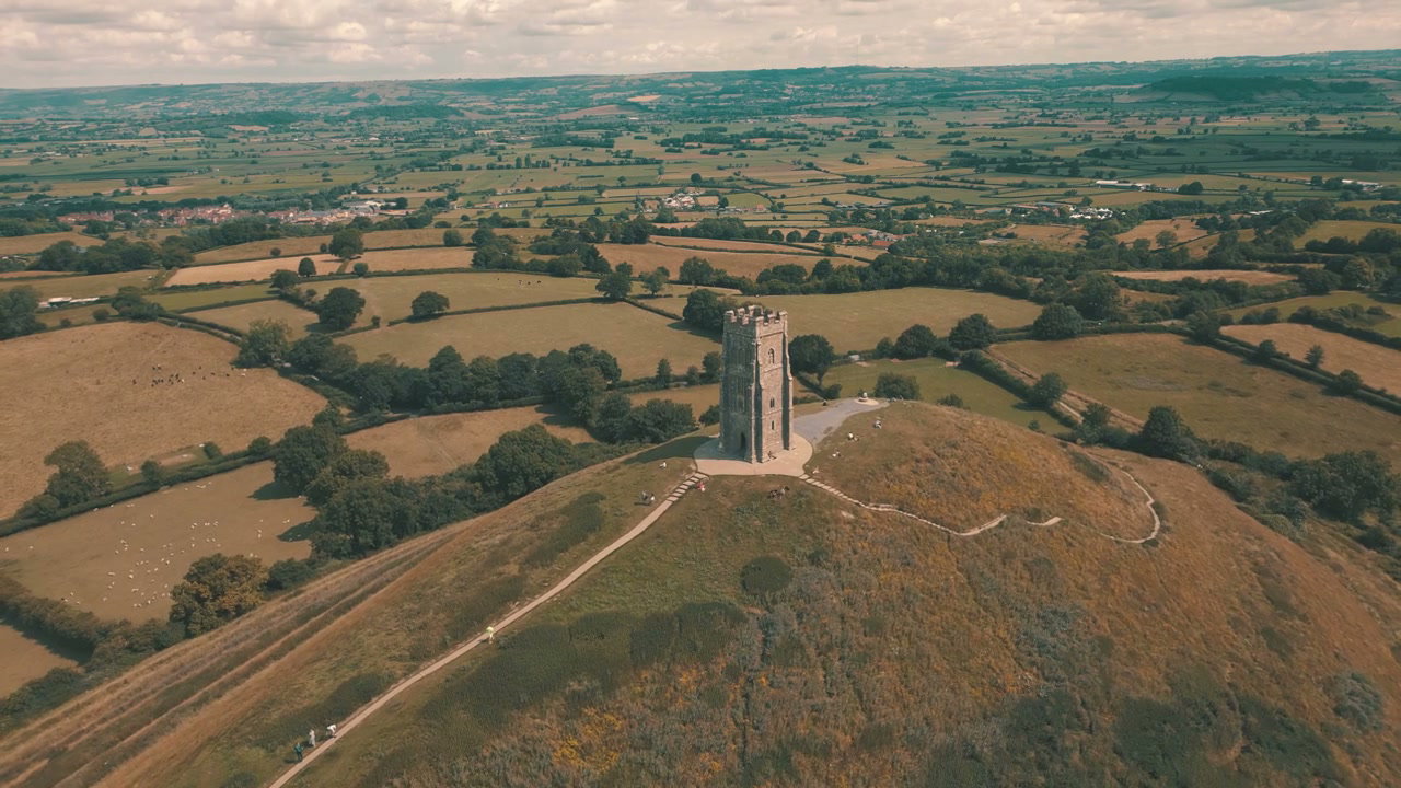
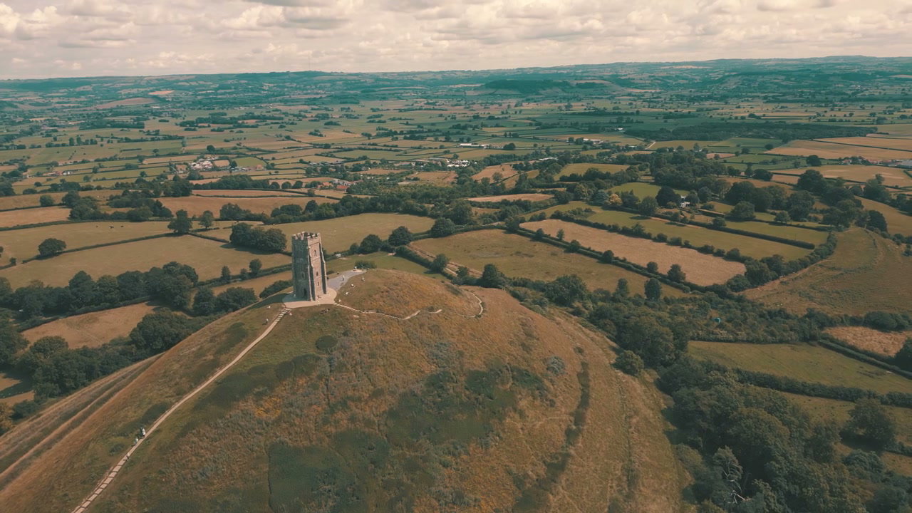
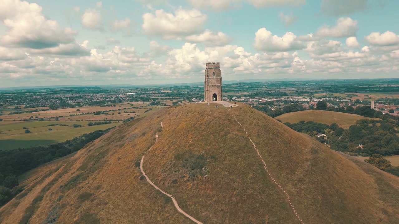
Glastonbury Tor And St Michael's Tower

Glastonbury Tor And St Michael's Tower

Glastonbury Tor And St Michael's Tower

Glastonbury Tor And St Michael's Tower

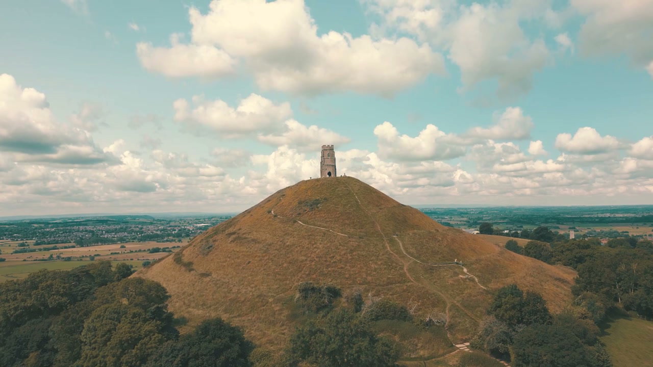
Glastonbury Tor and St Michael's Tower

Glastonbury Tor and St Michael's Tower

Aerial Sunset Over Chew Valley Lake

Aerial Sunset Over Chew Valley Lake

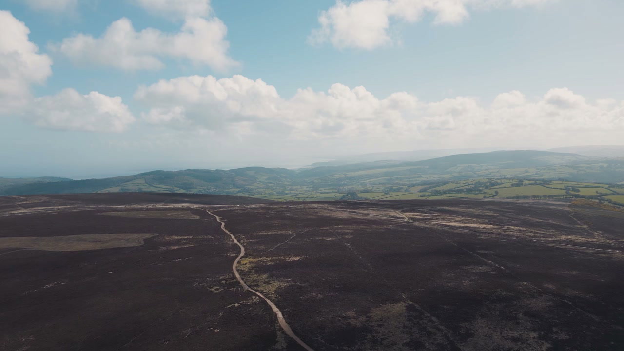
Aerial View of Exmoor Moorland and Coastline

Aerial View of Exmoor Moorland and Coastline