Uppbeat

Aerial View Burnt Moorland After Wildfire

Arthur Cauty

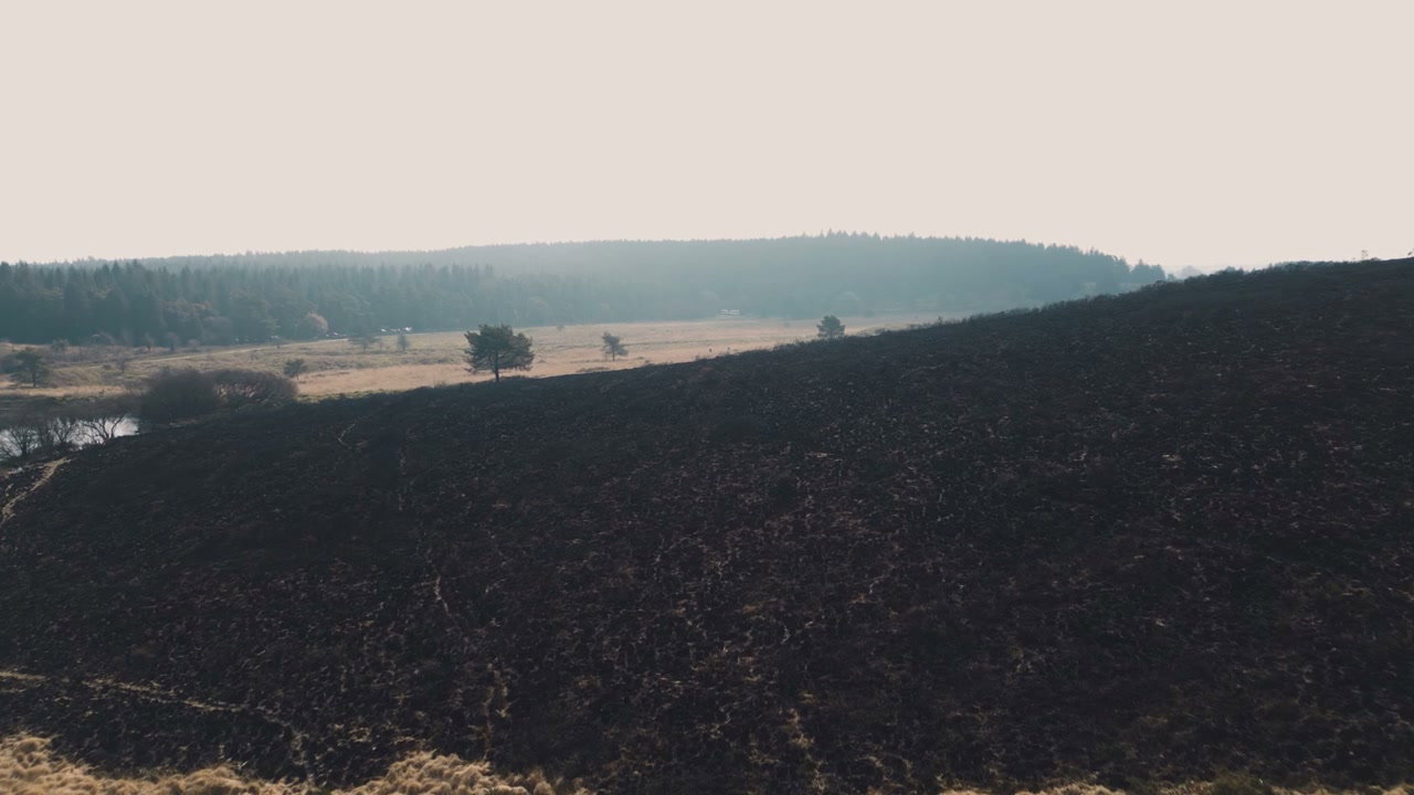
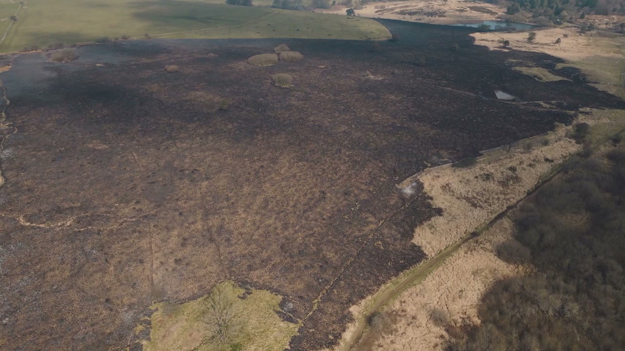
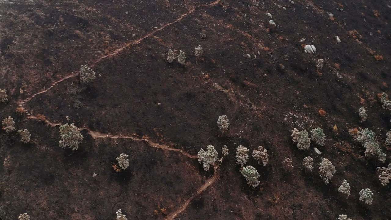
An aerial drone shot slowly pans over a vast natural landscape, revealing the stark contrast between scorched earth after a wildfire and adjacent unburnt moorland.

From this shoot

Burnt Moorland After Wildfire From Above

Burnt Moorland After Wildfire From Above

Burnt Landscape After Wildfire in Somerset

Burnt Landscape After Wildfire in Somerset

Aerial View of Scorched Wildfire Land

Aerial View of Scorched Wildfire Land

Aerial View of Wildfire Aftermath

Aerial View of Wildfire Aftermath

You may also like

Mountain After Fire Revealing Coastal Town

Mountain After Fire Revealing Coastal Town

New Forest Moorland Aerial View

New Forest Moorland Aerial View

New Forest Heather Moorland Aerial View

New Forest Heather Moorland Aerial View

Aerial View of Recovering Burnt Forest in Chile

Aerial View of Recovering Burnt Forest in Chile

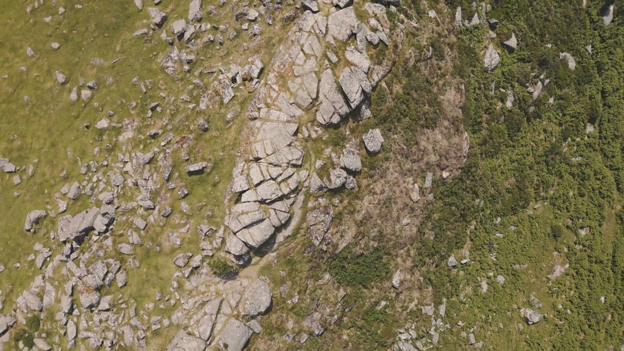
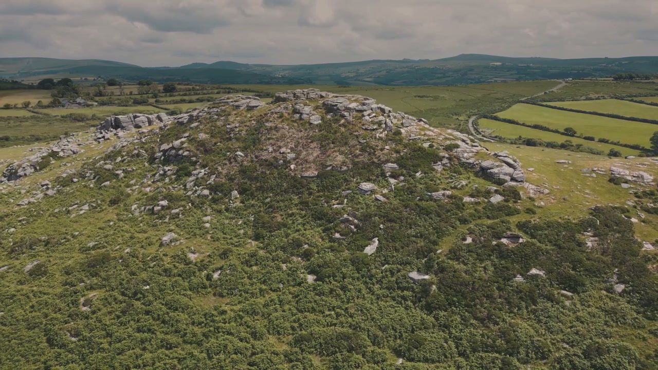
Aerial View of Sharp Tor Rock Formation

Aerial View of Sharp Tor Rock Formation

Aerial View of Sharp Tor, Dartmoor

Aerial View of Sharp Tor, Dartmoor

New Forest Moorland Aerial View

New Forest Moorland Aerial View

New Forest Heather Moorland Aerial View

New Forest Heather Moorland Aerial View

Aerial View Rocky Moorland

Aerial View Rocky Moorland

Aerial View New Forest Moorland Roads

Aerial View New Forest Moorland Roads

New Forest Moorland and Woods Aerial View

New Forest Moorland and Woods Aerial View

Aerial View of New Forest Heather Moorland

Aerial View of New Forest Heather Moorland