Uppbeat

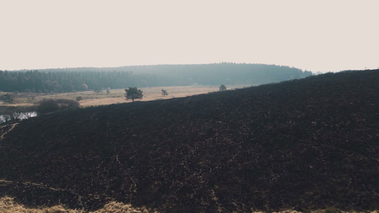
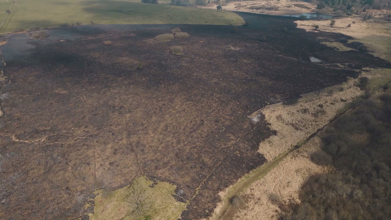
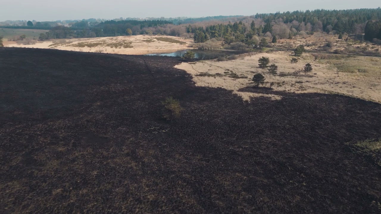
Aerial View of Wildfire Aftermath

Arthur Cauty

An aerial drone shot shows the stark contrast between a large area of black, scorched earth from a wildfire and an adjacent section of dry, light-colored grasslands, featuring a small green tree.

From this shoot

Burnt Moorland After Wildfire From Above

Burnt Moorland After Wildfire From Above

Aerial View Burnt Moorland After Wildfire

Aerial View Burnt Moorland After Wildfire

Burnt Landscape After Wildfire in Somerset

Burnt Landscape After Wildfire in Somerset

Aerial View of Scorched Wildfire Land

Aerial View of Scorched Wildfire Land

You may also like

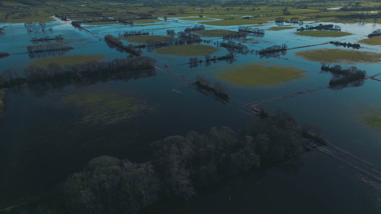
Aerial View of Flooded Agricultural Fields

Aerial View of Flooded Agricultural Fields

Aerial View of Vast Flooded Countryside Fields

Aerial View of Vast Flooded Countryside Fields

Aerial View of Dry Farm Fields and Rolling Hills

Aerial View of Dry Farm Fields and Rolling Hills

Aerial View Of Rural Landscape With Pond

Aerial View Of Rural Landscape With Pond

Aerial View of Drought-Stricken Lake Shore

Aerial View of Drought-Stricken Lake Shore

Aerial View of Icebergs in Glacier Lagoon

Aerial View of Icebergs in Glacier Lagoon

Aerial View of Glacier with Volcanic Ash

Aerial View of Glacier with Volcanic Ash

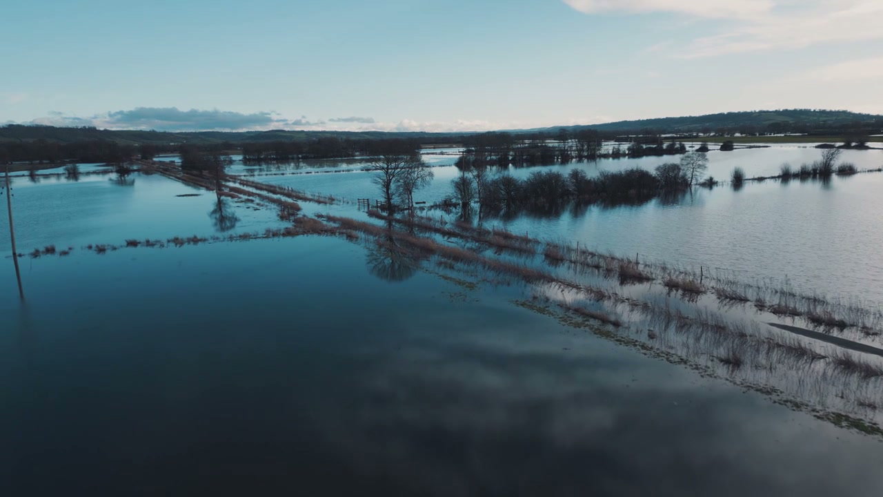
Aerial View of Vast Flooded Fields

Aerial View of Vast Flooded Fields

Aerial View of Flooded Fields Near Glastonbury Tor

Aerial View of Flooded Fields Near Glastonbury Tor

Aerial View of Glacier and Glacial Lake

Aerial View of Glacier and Glacial Lake

Aerial View of Icebergs in Jökulsárlón Lagoon

Aerial View of Icebergs in Jökulsárlón Lagoon

Flooded Farmland Aerial View

Flooded Farmland Aerial View