Uppbeat

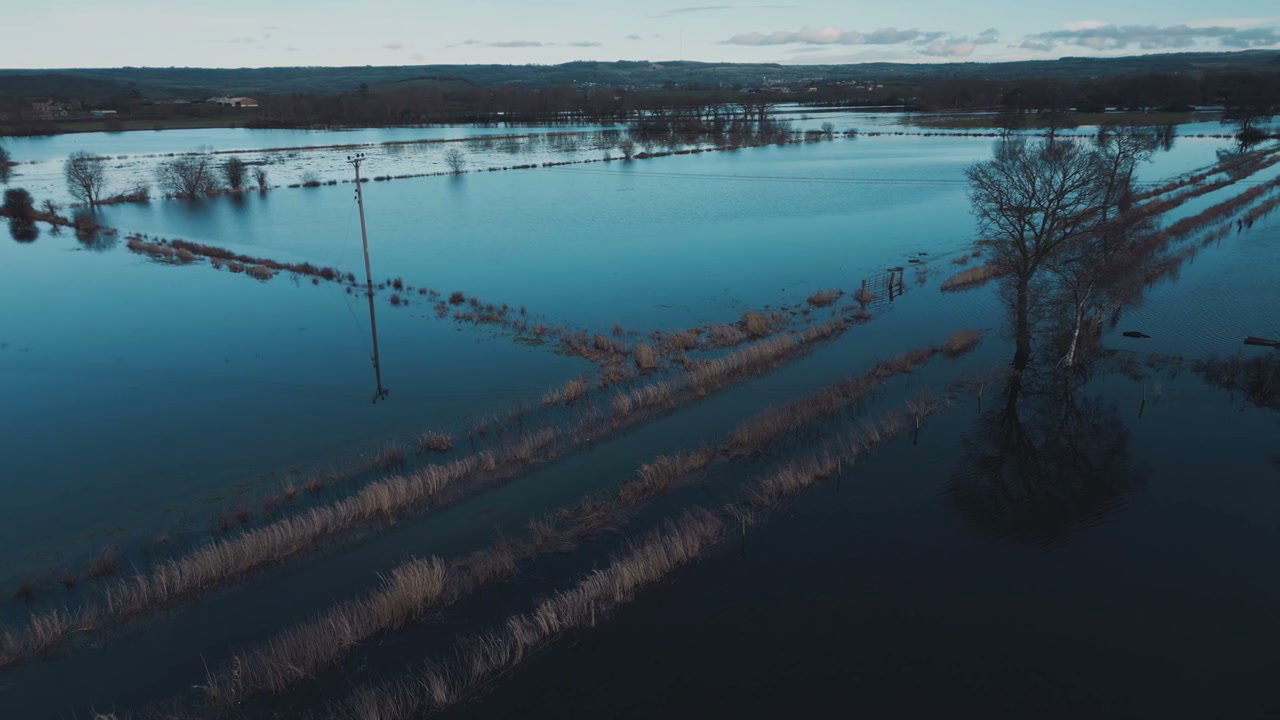
Aerial View of Flooded Fields Near Glastonbury Tor

Arthur Cauty

An expansive aerial view captures vast green fields partially submerged by floodwaters, with Glastonbury Tor visible in the distance under a cloudy sky.

From this shoot

Vast Countryside Flooding Aerial Shot

Vast Countryside Flooding Aerial Shot

Aerial View of Flooded Agricultural Fields

Aerial View of Flooded Agricultural Fields

Aerial View of Flooded Fields in Winter

Aerial View of Flooded Fields in Winter

Aerial View of Flooded Countryside

Aerial View of Flooded Countryside

You may also like

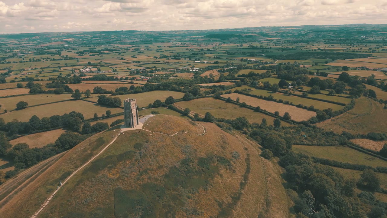
Aerial View of Glastonbury Tor

Aerial View of Glastonbury Tor

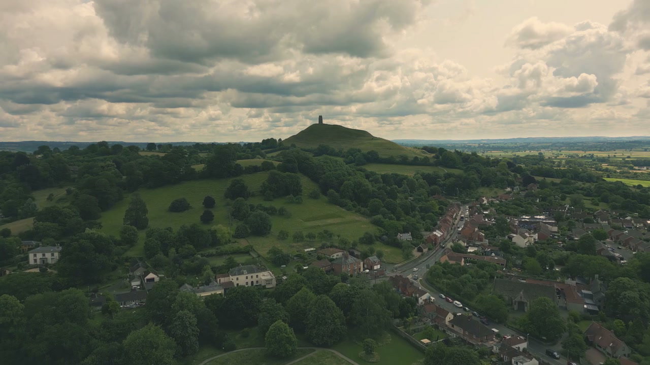
Aerial View of Glastonbury Tor and Village

Aerial View of Glastonbury Tor and Village

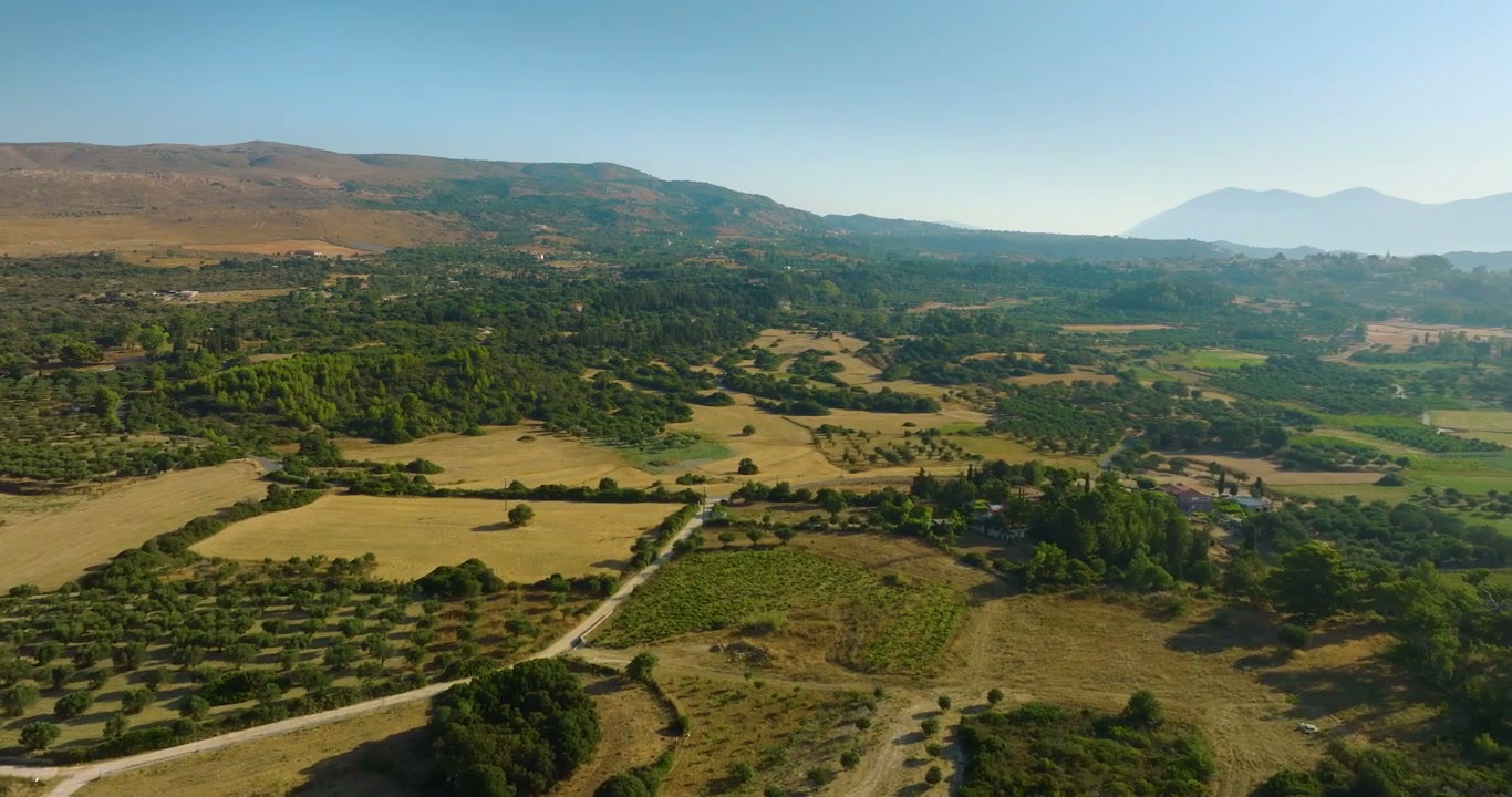
Aerial View of Dry Farm Fields and Rolling Hills

Aerial View of Dry Farm Fields and Rolling Hills

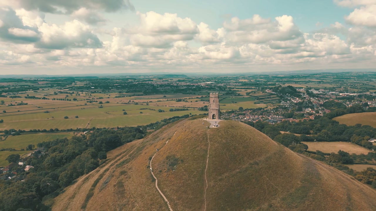
Aerial View of Glastonbury Tor and Town

Aerial View of Glastonbury Tor and Town

Aerial View of Glastonbury Tor

Aerial View of Glastonbury Tor

Aerial View of Glastonbury Tor

Aerial View of Glastonbury Tor

Aerial View of Glastonbury Tor

Aerial View of Glastonbury Tor

Aerial View of Green Fields and Mountain Village

Aerial View of Green Fields and Mountain Village

Aerial View of Green Fields and Rural Hills

Aerial View of Green Fields and Rural Hills

Aerial View of Vast Agricultural Fields

Aerial View of Vast Agricultural Fields

Aerial View of Road Through Tuscan Fields

Aerial View of Road Through Tuscan Fields

Aerial View of Rapeseed and Green Fields

Aerial View of Rapeseed and Green Fields