Uppbeat

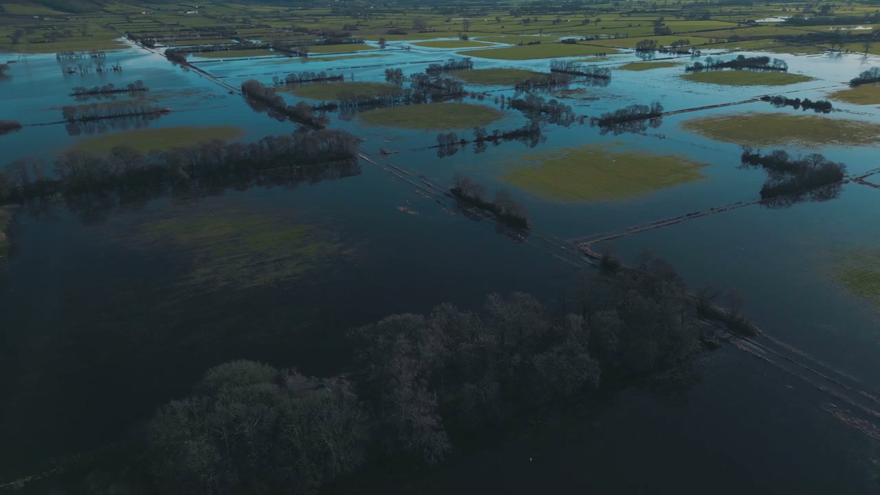
Aerial View of Flooded Countryside

Arthur Cauty

An aerial drone shot captures vast floodwaters submerging rural agricultural fields, exposing dry grass rows, bare trees, and a utility pole.

From this shoot

Vast Countryside Flooding Aerial Shot

Vast Countryside Flooding Aerial Shot

Aerial View of Flooded Agricultural Fields

Aerial View of Flooded Agricultural Fields

Aerial View of Flooded Fields in Winter

Aerial View of Flooded Fields in Winter

Aerial View of Flooded Agricultural Fields

Aerial View of Flooded Agricultural Fields

You may also like

Aerial View of Green Fields and Mountain Village

Aerial View of Green Fields and Mountain Village

Aerial View of Green Fields and Rural Hills

Aerial View of Green Fields and Rural Hills

Aerial View of Dry Farm Fields and Rolling Hills

Aerial View of Dry Farm Fields and Rolling Hills

Aerial View of Vast Agricultural Fields

Aerial View of Vast Agricultural Fields

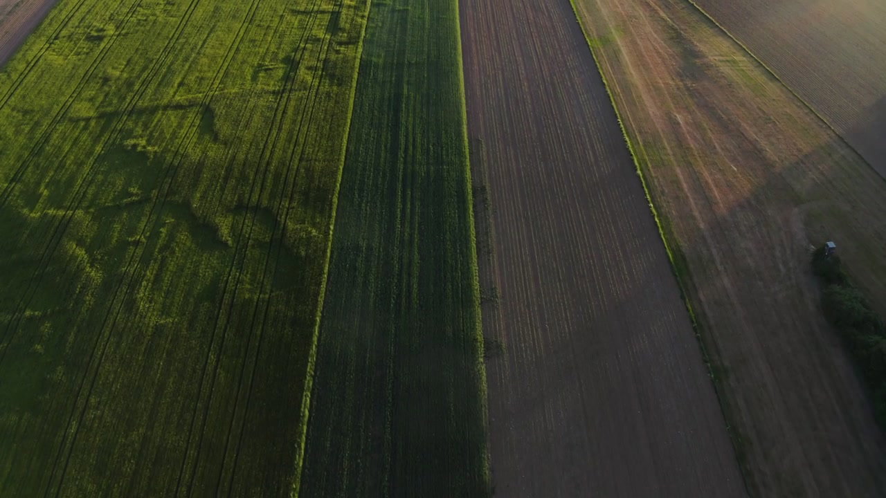
Aerial View Of Lush Green And Dry Fields

Aerial View Of Lush Green And Dry Fields

Aerial View of Rolling Fog Over Rural Fields

Aerial View of Rolling Fog Over Rural Fields

Aerial View of Mist Rolling Over Rural Hills and Fields

Aerial View of Mist Rolling Over Rural Hills and Fields

Aerial View of Green and Brown Farmland

Aerial View of Green and Brown Farmland

Aerial View of Wind Turbine and Farmland

Aerial View of Wind Turbine and Farmland

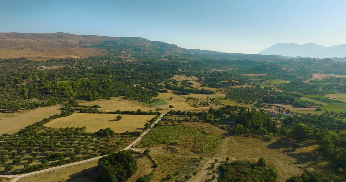
Aerial View of Rural Landscape with Olive Trees

Aerial View of Rural Landscape with Olive Trees

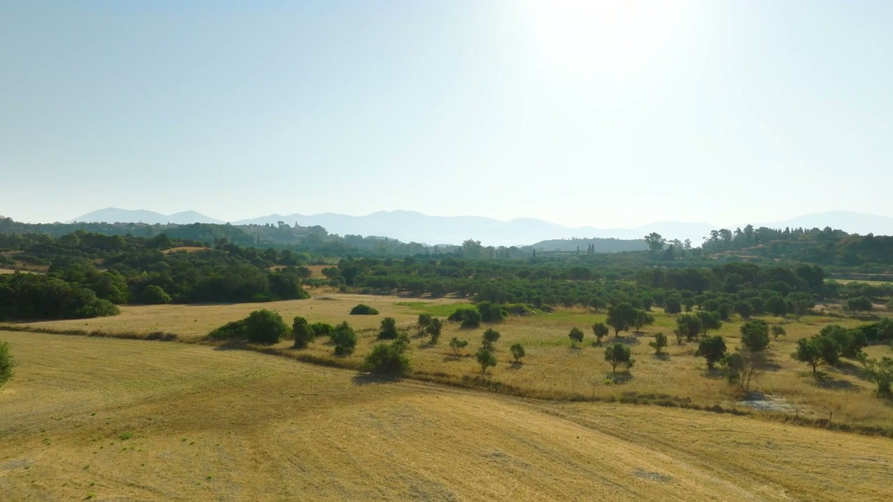
Aerial View of Rural Olive Groves and Houses

Aerial View of Rural Olive Groves and Houses

Aerial View of Burnt Landscape

Aerial View of Burnt Landscape