Uppbeat

Glastonbury Tor and St Michael's Tower Reveal

Arthur Cauty

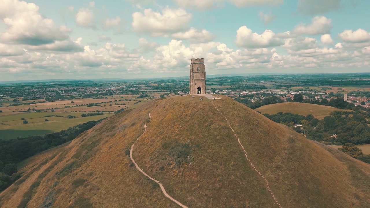
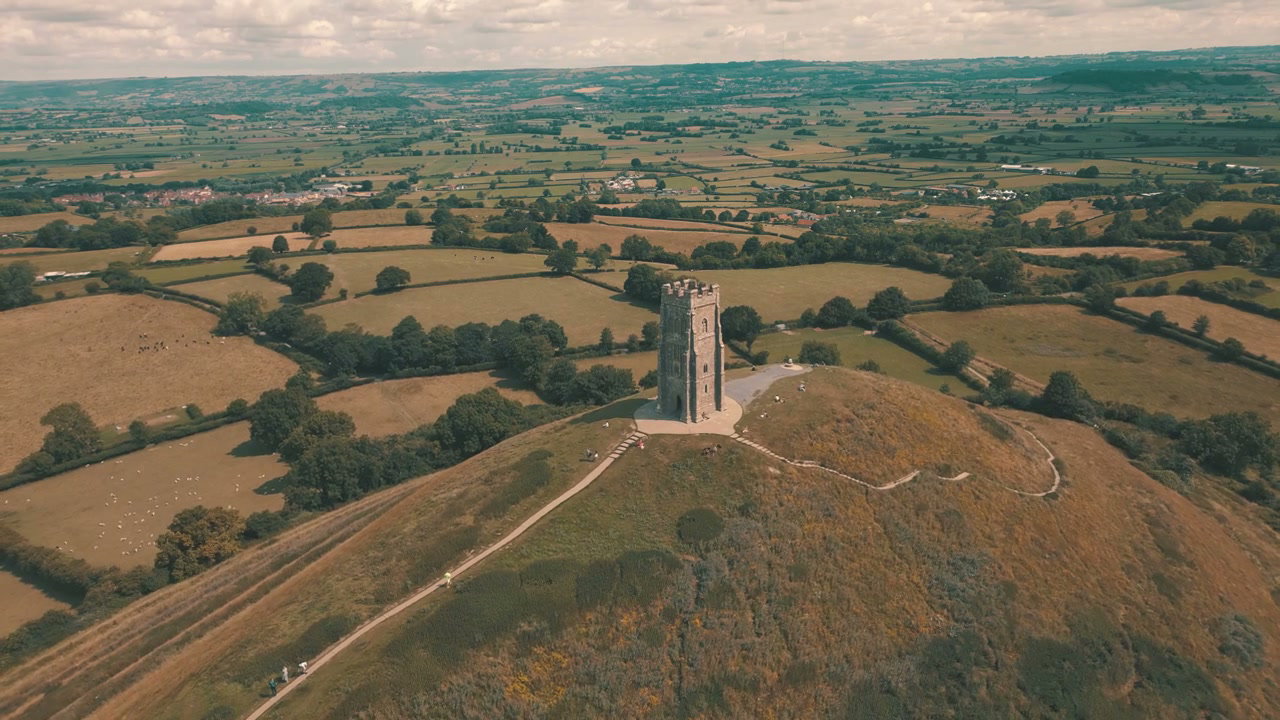
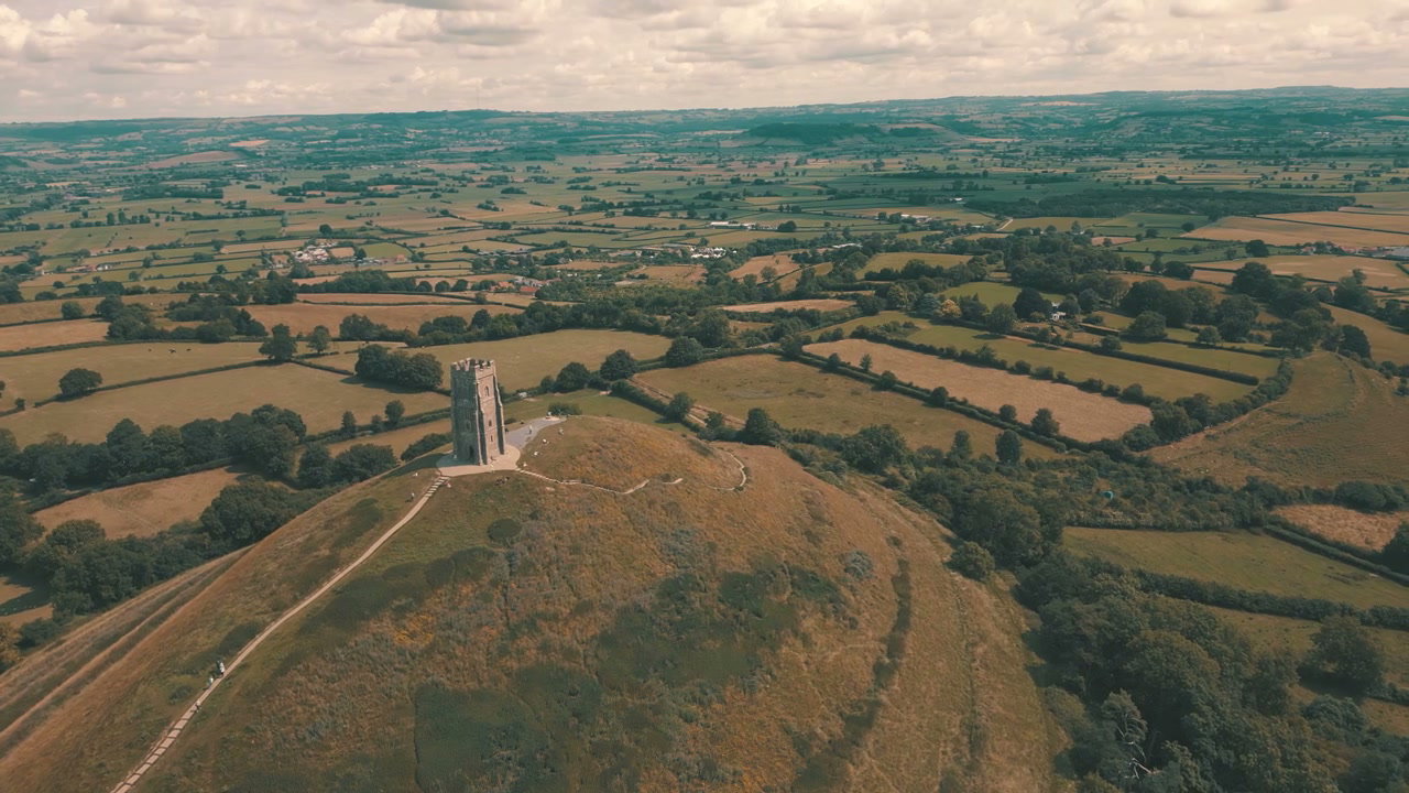
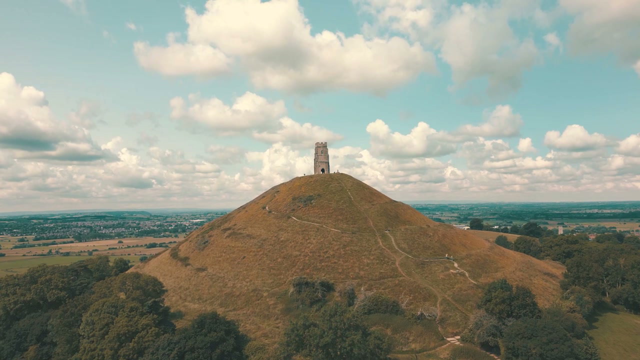
A drone shot slowly pulls back from Glastonbury Tor, revealing St Michael's Tower at its peak, with winding grassy pathways and distant countryside under a cloudy sky.

From this shoot

Glastonbury Tor And St Michael's Tower

Glastonbury Tor And St Michael's Tower

Glastonbury Tor And St Michael's Tower

Glastonbury Tor And St Michael's Tower

Glastonbury Tor And Rural English Landscape

Glastonbury Tor And Rural English Landscape

Aerial View of Glastonbury Tor

Aerial View of Glastonbury Tor

You may also like

Himmelbjerget Tower and Lake Landscape

Himmelbjerget Tower and Lake Landscape

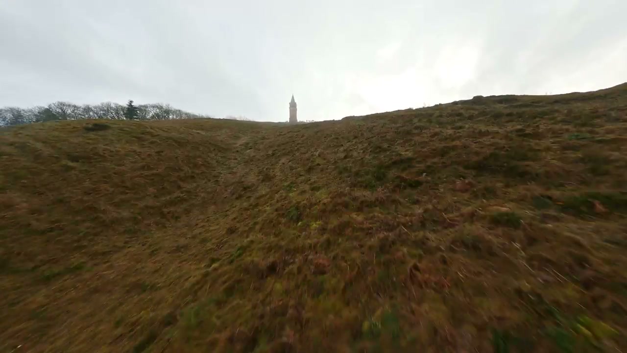
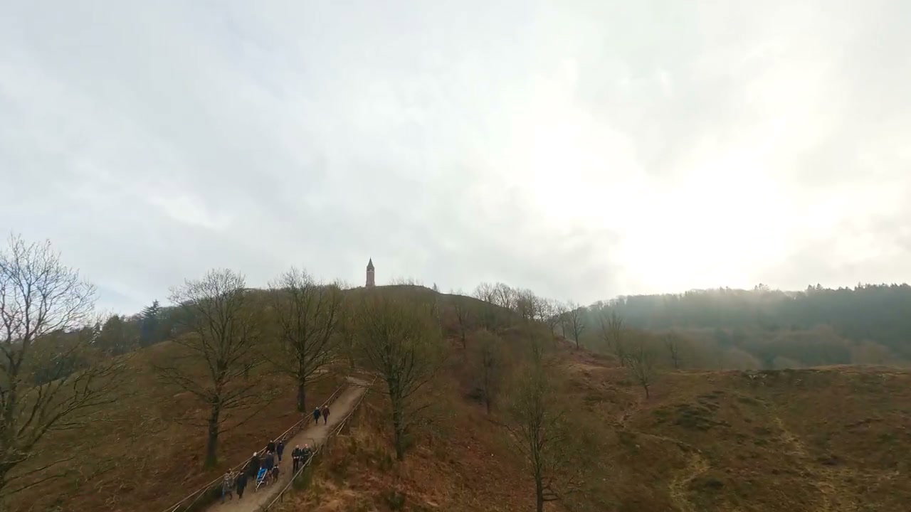
Himmelbjerget Tower and Landscape FPV Drone

Himmelbjerget Tower and Landscape FPV Drone

Aerial View of Flooded Fields Near Glastonbury Tor

Aerial View of Flooded Fields Near Glastonbury Tor

Autumn Forest Landscape with Tower and Lake

Autumn Forest Landscape with Tower and Lake

FPV Drone Over Himmelbjerget Hill and Lake

FPV Drone Over Himmelbjerget Hill and Lake

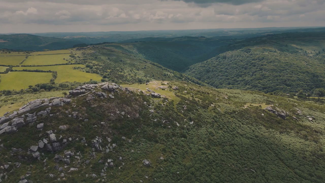
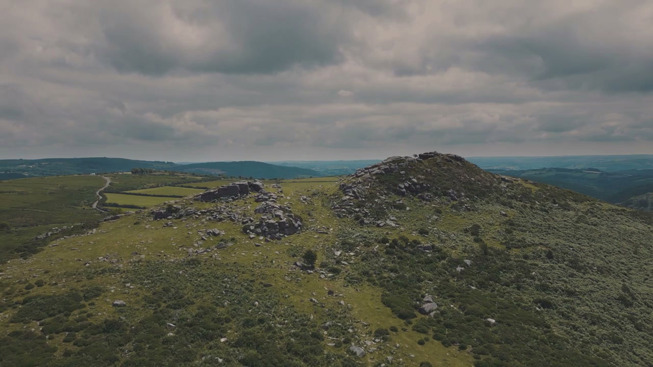
Sharp Tor Hillside and Rolling Green Valley

Sharp Tor Hillside and Rolling Green Valley

Himmelbjerget Tower FPV Drone Flight

Himmelbjerget Tower FPV Drone Flight

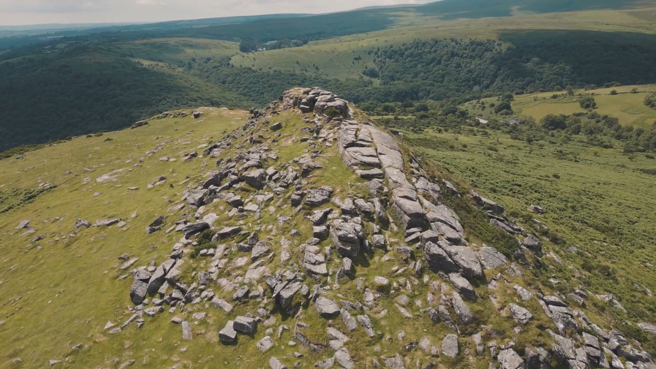
Aerial View of Sharp Tor Rocky Outcrop

Aerial View of Sharp Tor Rocky Outcrop

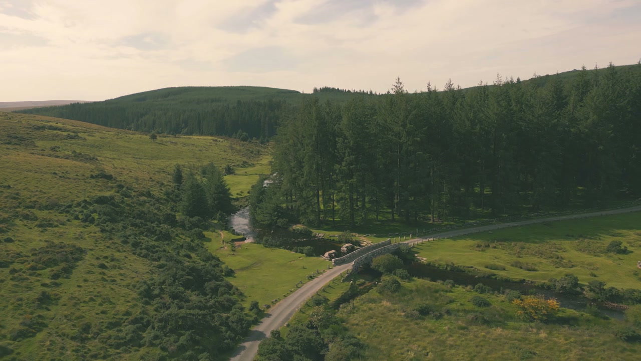
Aerial View of Dartmoor Forest and River Bridge

Aerial View of Dartmoor Forest and River Bridge

FPV Drone Flight Over Himmelbjerget Hills

FPV Drone Flight Over Himmelbjerget Hills

Aerial Over Sharp Tor and Rolling Countryside

Aerial Over Sharp Tor and Rolling Countryside

Aerial View of Flooded Fields, Glastonbury Tor

Aerial View of Flooded Fields, Glastonbury Tor