Uppbeat

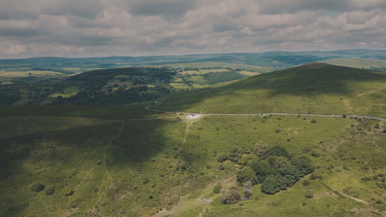
Aerial Over Sharp Tor and Rolling Countryside

Arthur Cauty

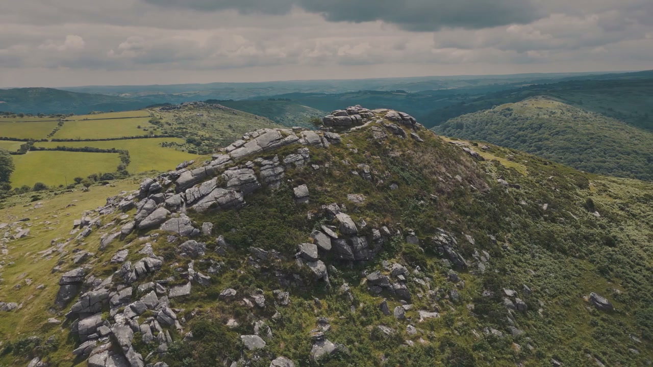
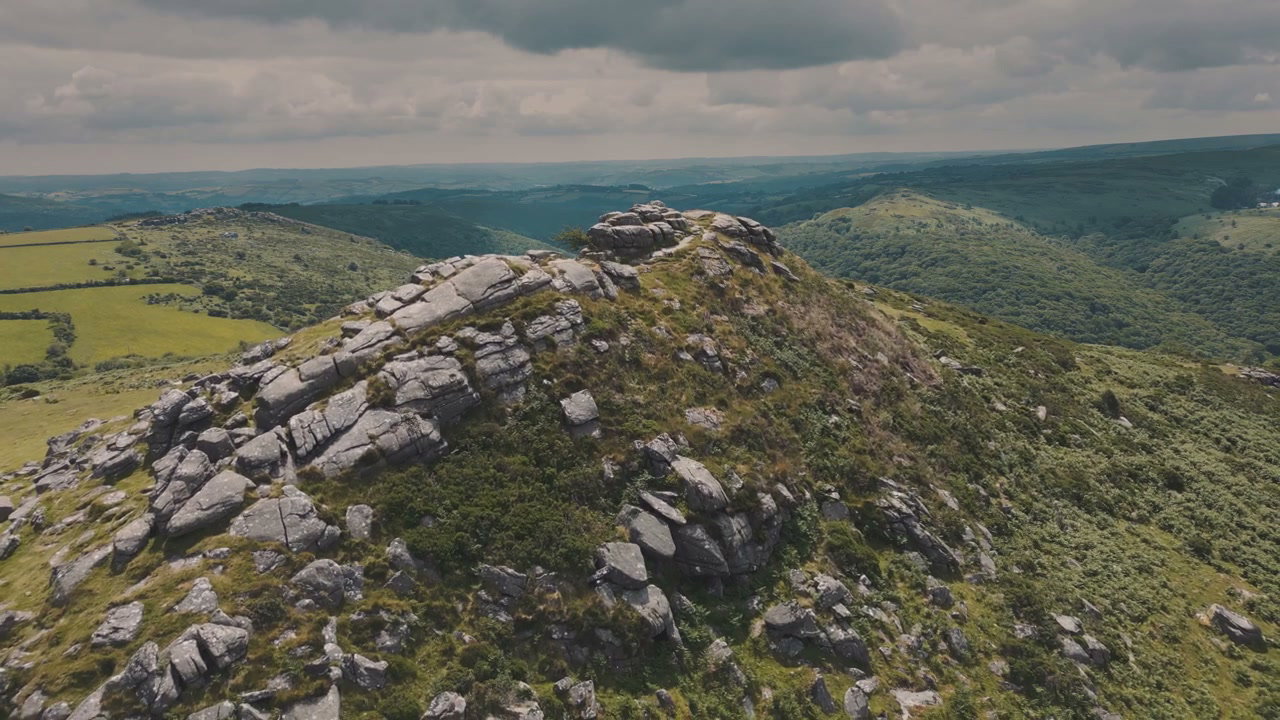
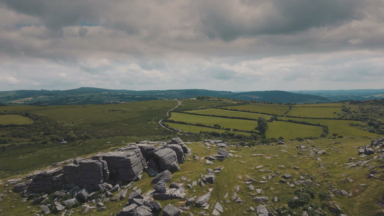
An aerial drone shot flies over the prominent rocky outcrop of Sharp Tor, revealing expansive green moorland, hedgerow fields, and a winding road under a cloudy sky.

From this shoot

Sharp Tor Rocky Hilltop, Dartmoor

Sharp Tor Rocky Hilltop, Dartmoor

Aerial View of Dartmoor Hills and Road

Aerial View of Dartmoor Hills and Road

Sharp Tor Rocky Outcrop, Dartmoor Moorland

Sharp Tor Rocky Outcrop, Dartmoor Moorland

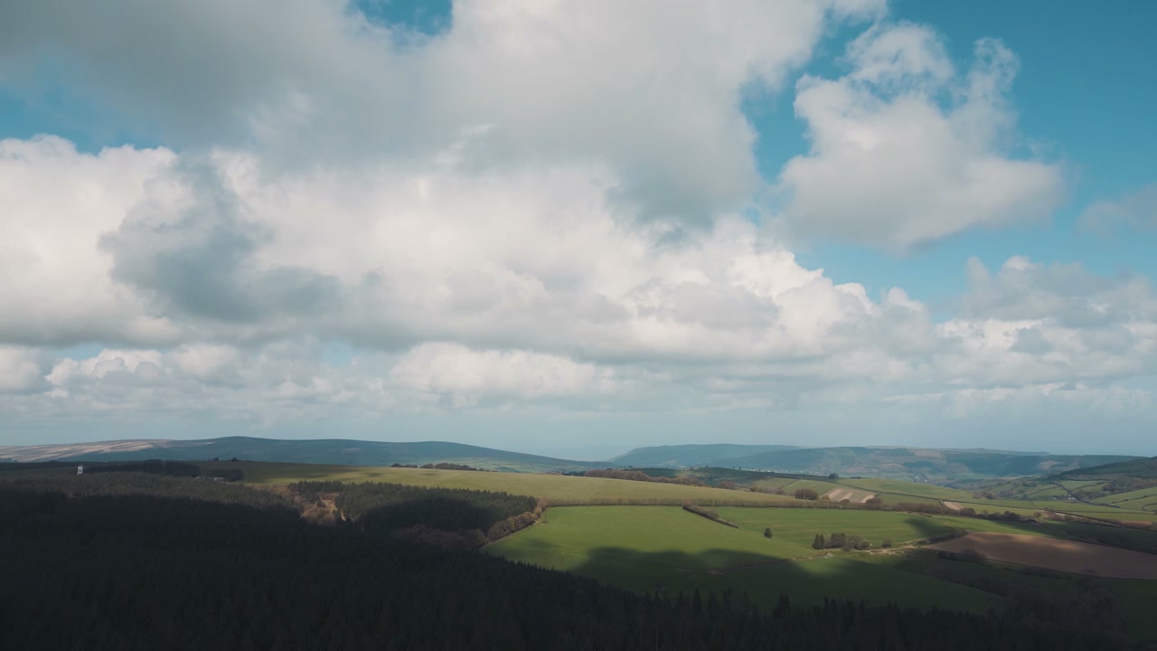
Sharp Tor Moorland Landscape

Sharp Tor Moorland Landscape

You may also like

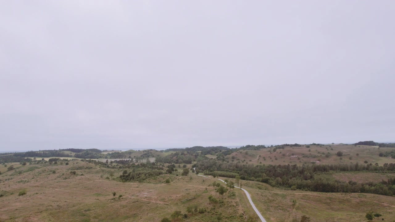
Fog Rolling Over Rural Hills and Agricultural Fields

Fog Rolling Over Rural Hills and Agricultural Fields

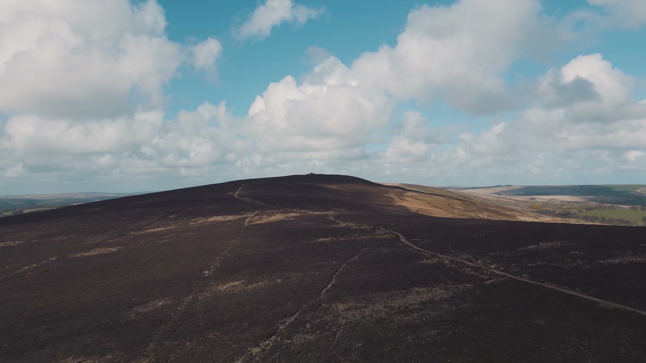
Exmoor Rolling Hills And Green Fields

Exmoor Rolling Hills And Green Fields

Aerial View of Mist Rolling Over Rural Hills and Fields

Aerial View of Mist Rolling Over Rural Hills and Fields

Aerial View of Rural Rolling Hills and Road

Aerial View of Rural Rolling Hills and Road

Aerial Over Green Crop Fields and Rolling Hills

Aerial Over Green Crop Fields and Rolling Hills

Aerial View of Green Vineyards and Rolling Hills

Aerial View of Green Vineyards and Rolling Hills

Aerial View of Dry Farm Fields and Rolling Hills

Aerial View of Dry Farm Fields and Rolling Hills

Exmoor Moorland Landscape With Rolling Hills

Exmoor Moorland Landscape With Rolling Hills

Morning Fog Clearing Over Rolling Hills

Morning Fog Clearing Over Rolling Hills

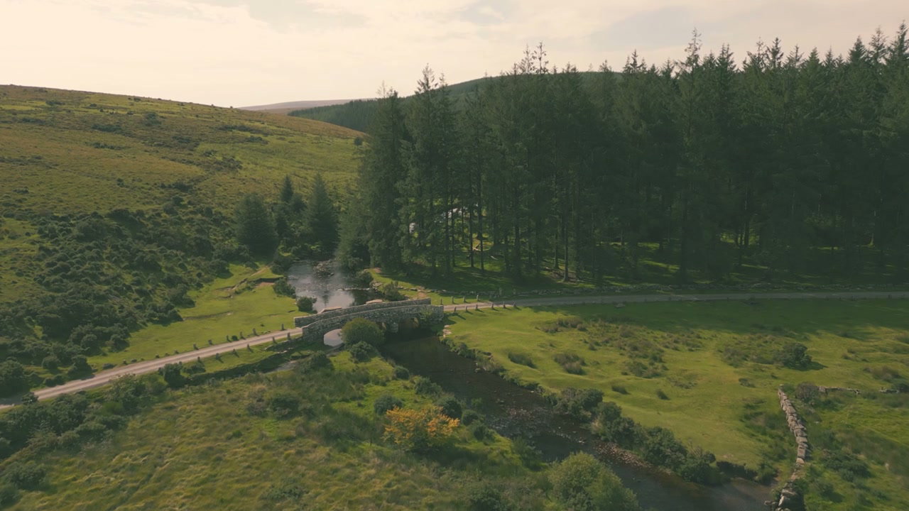
Stone Bridge Over River in Dartmoor Landscape

Stone Bridge Over River in Dartmoor Landscape

Aerial Pan Over Forest and Moorland Landscape

Aerial Pan Over Forest and Moorland Landscape

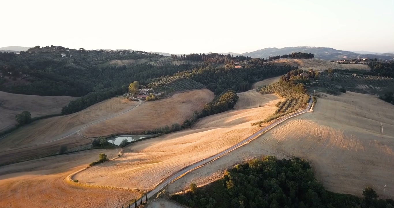
Tuscan Rolling Hills and Farmland Aerial View

Tuscan Rolling Hills and Farmland Aerial View