Uppbeat

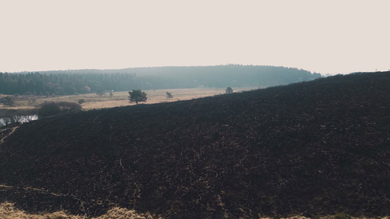
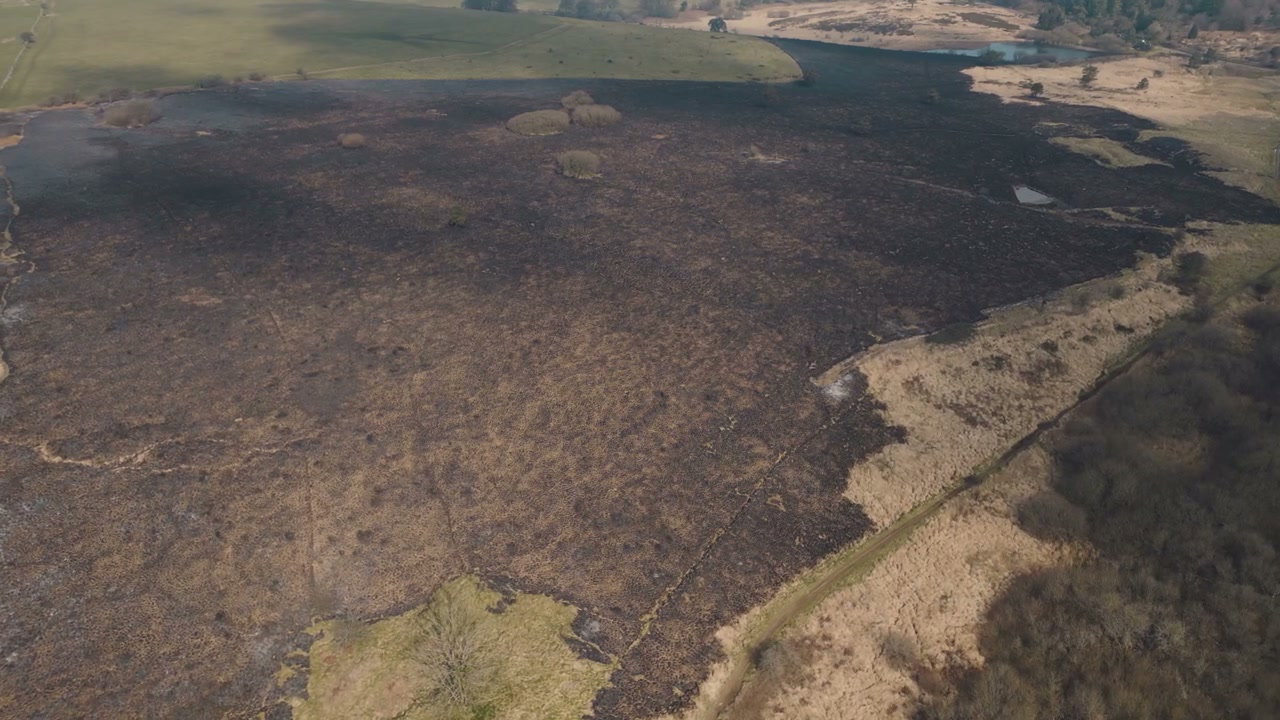
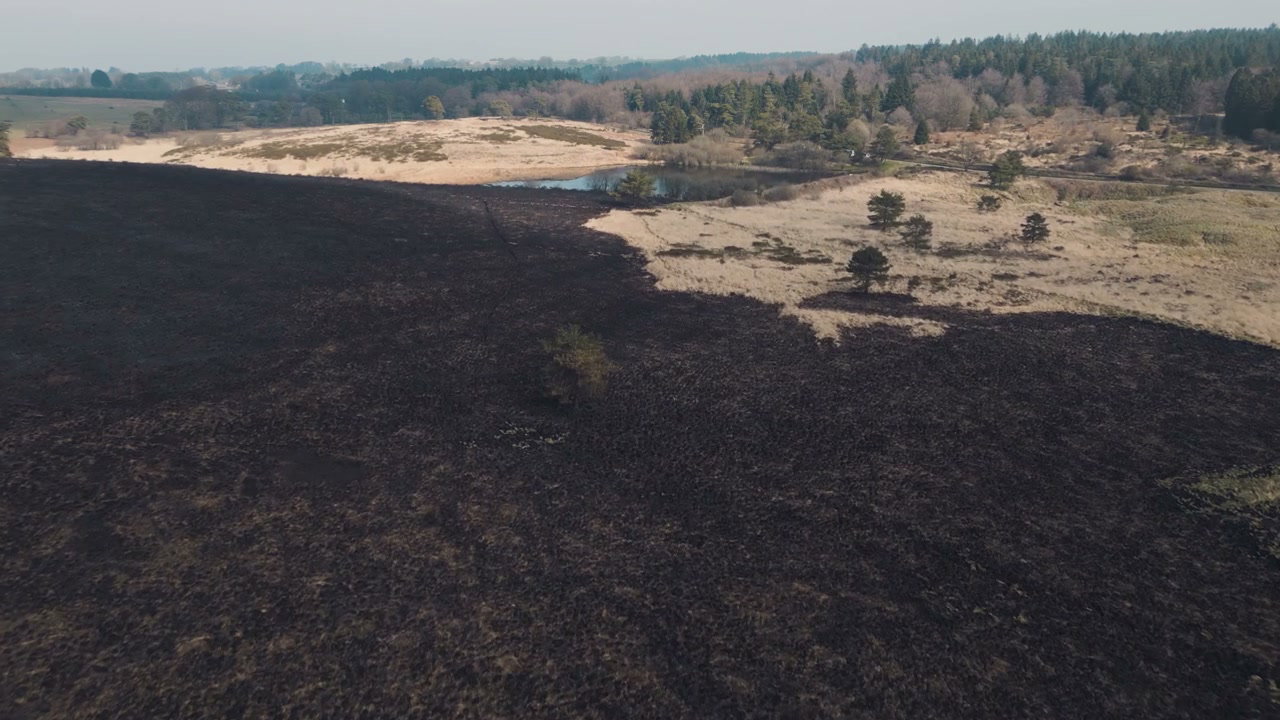
Aerial View of Somerset Moorland After Fire

Arthur Cauty

An aerial drone shot captures the stark contrast between scorched earth and unburnt vegetation on moorland in Somerset after a recent wildfire.

From this shoot

Burnt Moorland After Wildfire From Above

Burnt Moorland After Wildfire From Above

Aerial View Burnt Moorland After Wildfire

Aerial View Burnt Moorland After Wildfire

Burnt Landscape After Wildfire in Somerset

Burnt Landscape After Wildfire in Somerset

Aerial View of Scorched Wildfire Land

Aerial View of Scorched Wildfire Land

You may also like

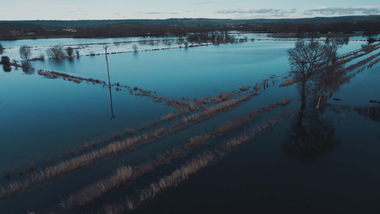
Aerial View of Flooded Fields Near Glastonbury Tor

Aerial View of Flooded Fields Near Glastonbury Tor

Aerial View of Flooded Countryside

Aerial View of Flooded Countryside

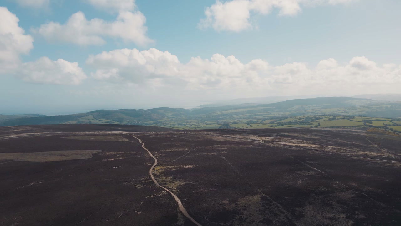
Aerial View of Exmoor Moorland and Coastline

Aerial View of Exmoor Moorland and Coastline

Aerial View of Green Countryside with Road

Aerial View of Green Countryside with Road

Aerial View of Flooded Countryside Fields

Aerial View of Flooded Countryside Fields

Aerial View of Rolling English Countryside

Aerial View of Rolling English Countryside

Aerial View of Vast Flooded Countryside Fields

Aerial View of Vast Flooded Countryside Fields

Aerial View of New Forest Heather Moorland

Aerial View of New Forest Heather Moorland

Aerial View of Glacier with Volcanic Ash

Aerial View of Glacier with Volcanic Ash

Aerial View of Car Driving on Moorland Road

Aerial View of Car Driving on Moorland Road

Aerial View of Cars Driving on Moorland Road

Aerial View of Cars Driving on Moorland Road

Aerial View of Dartmoor Hills and Road

Aerial View of Dartmoor Hills and Road