Uppbeat

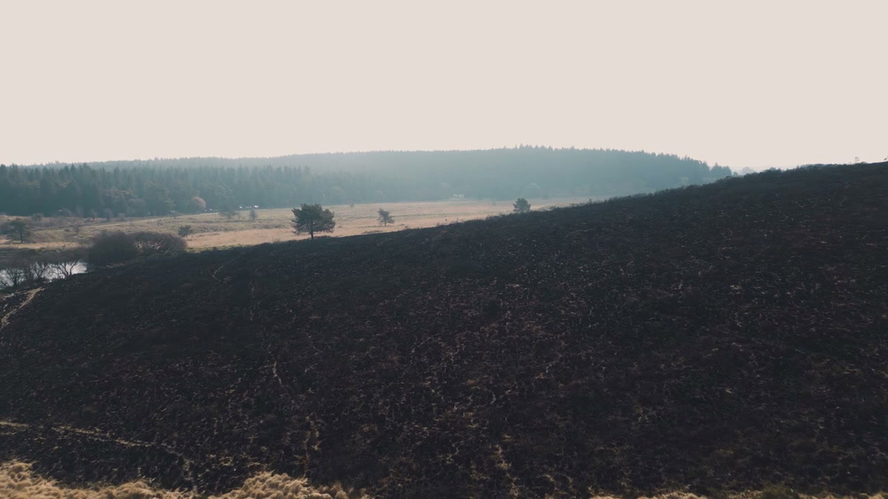
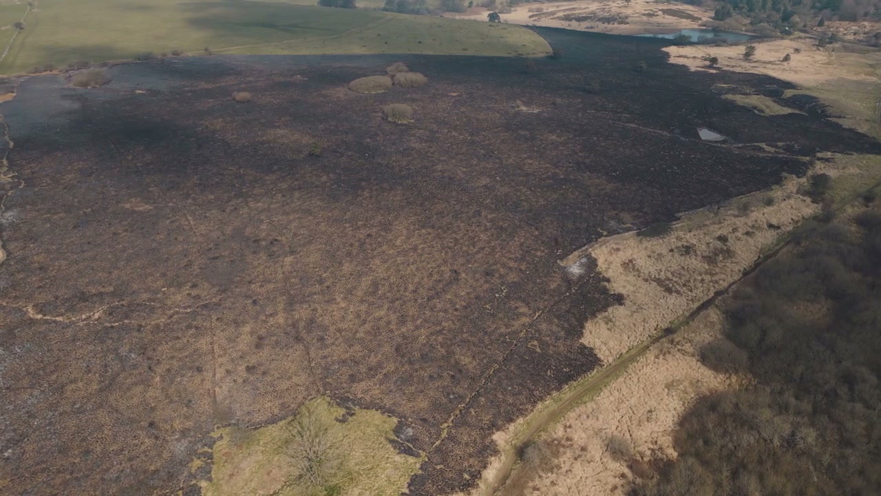
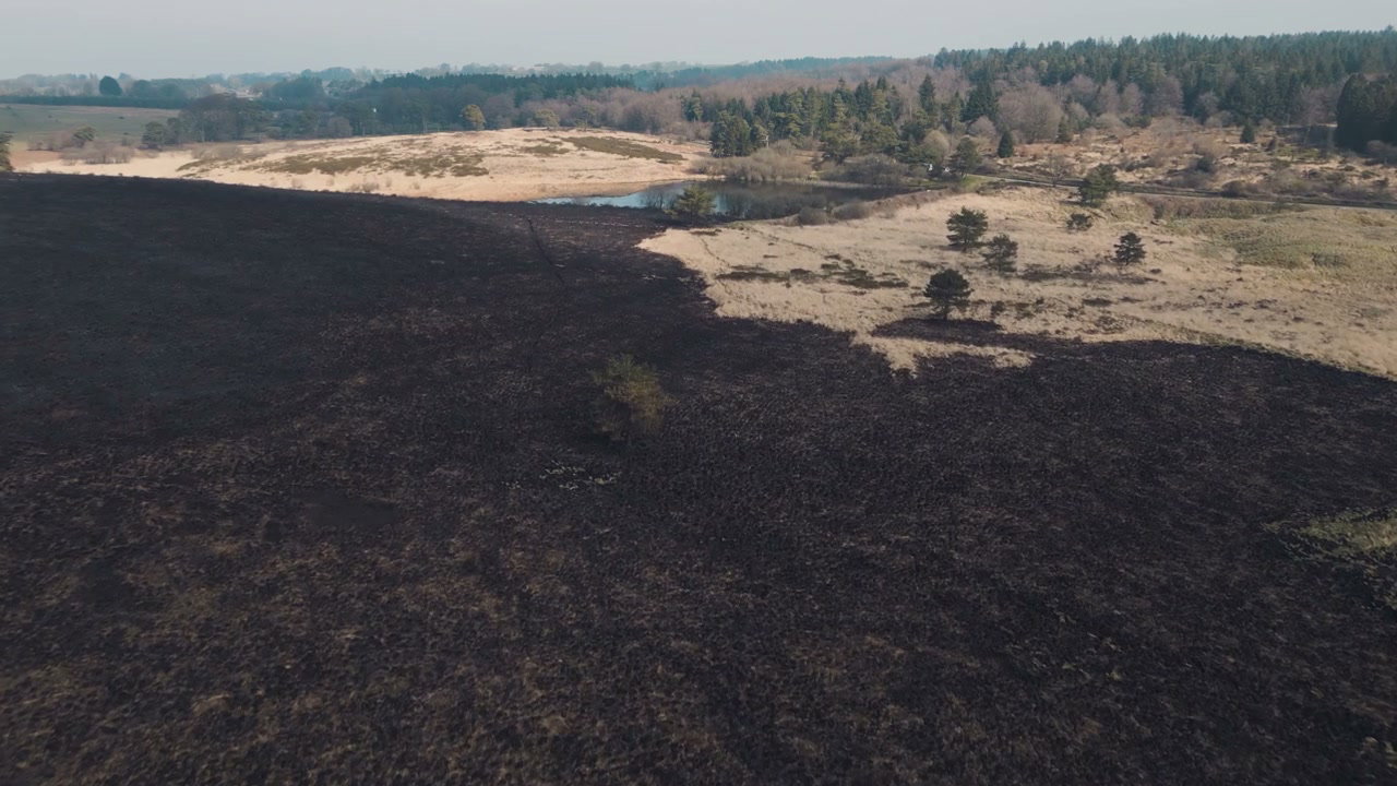
Aerial View of Burnt Countryside

Arthur Cauty

An aerial perspective reveals a vast expanse of land scorched black by a recent wildfire, contrasting with untouched green fields and distant forests under a clear sky.

From this shoot

Burnt Moorland After Wildfire From Above

Burnt Moorland After Wildfire From Above

Aerial View Burnt Moorland After Wildfire

Aerial View Burnt Moorland After Wildfire

Burnt Landscape After Wildfire in Somerset

Burnt Landscape After Wildfire in Somerset

Aerial View of Scorched Wildfire Land

Aerial View of Scorched Wildfire Land

You may also like

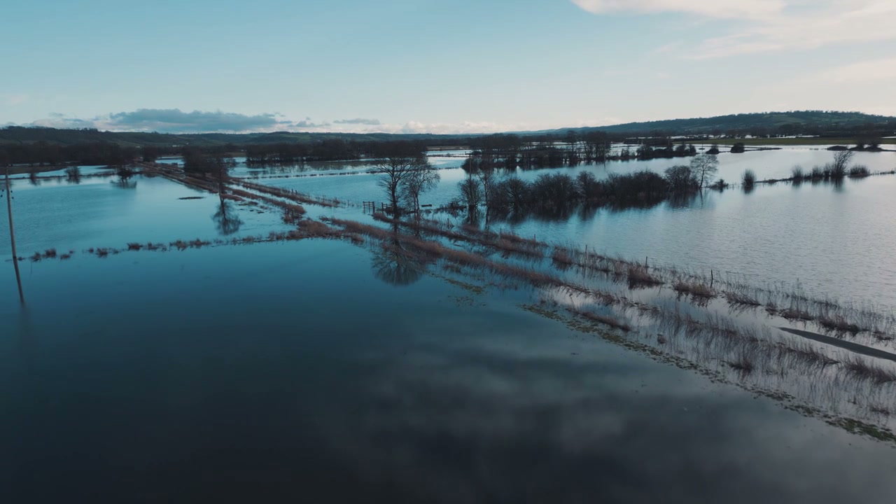
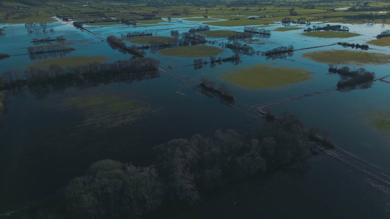
Aerial View of Vast Flooded Fields

Aerial View of Vast Flooded Fields

Aerial View of Flooded Countryside Fields

Aerial View of Flooded Countryside Fields

Aerial View of Flooded Fields

Aerial View of Flooded Fields

Aerial View of Flooded Fields, Glastonbury Tor

Aerial View of Flooded Fields, Glastonbury Tor

Aerial View of Vast Flooded Countryside Fields

Aerial View of Vast Flooded Countryside Fields

Aerial View of Scenic River Valley Landscape

Aerial View of Scenic River Valley Landscape

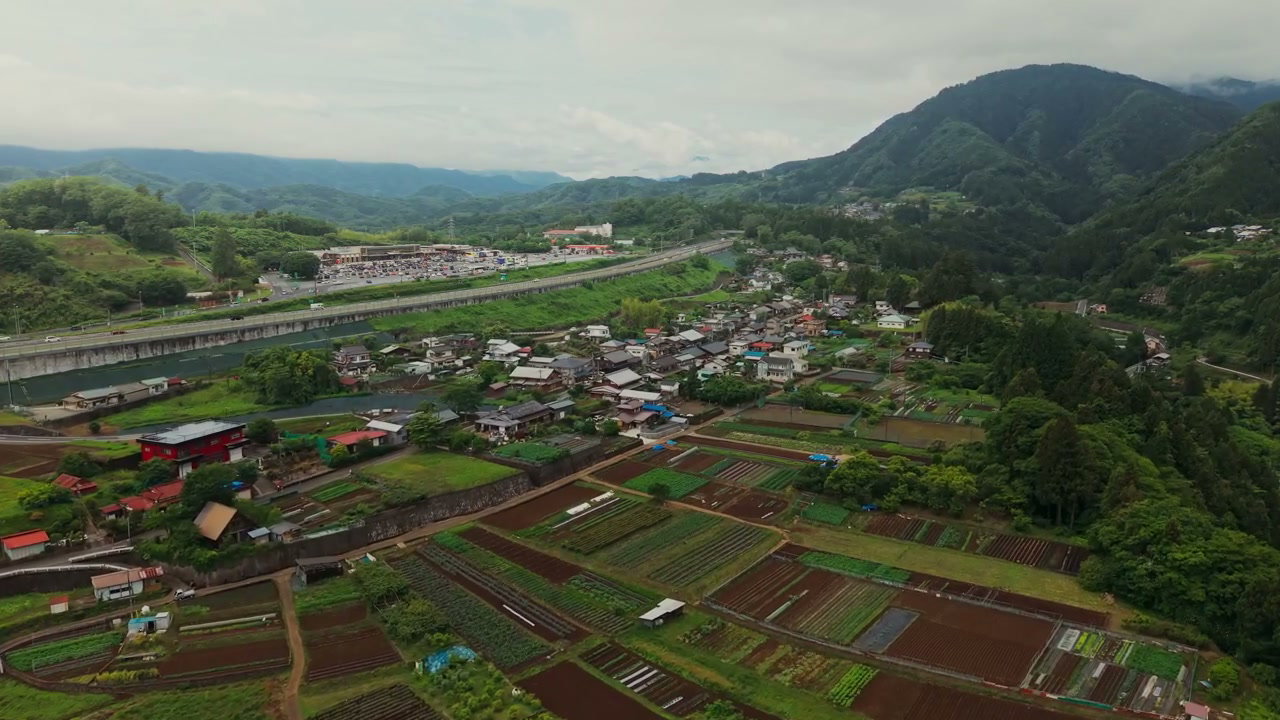
Aerial View of Rural Japanese Village and Fields

Aerial View of Rural Japanese Village and Fields

Aerial View of Blooming Rapeseed Field

Aerial View of Blooming Rapeseed Field

Aerial View of Expansive Winter Moorland

Aerial View of Expansive Winter Moorland

Aerial View of Hackpen White Horse Geoglyph

Aerial View of Hackpen White Horse Geoglyph

Aerial View of Misty Green Forest Valley

Aerial View of Misty Green Forest Valley

Aerial View of Flooded Agricultural Fields

Aerial View of Flooded Agricultural Fields