Uppbeat

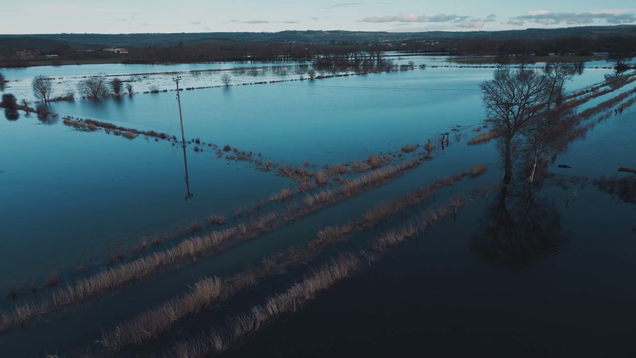
Aerial View of Flooded Fields, Glastonbury Tor

Arthur Cauty

An aerial wide shot shows extensive flooding across rural fields with reflections of the sky and trees, leading towards Glastonbury Tor in the distance.

From this shoot

Vast Countryside Flooding Aerial Shot

Vast Countryside Flooding Aerial Shot

Aerial View of Flooded Agricultural Fields

Aerial View of Flooded Agricultural Fields

Aerial View of Flooded Fields in Winter

Aerial View of Flooded Fields in Winter

Aerial View of Flooded Countryside

Aerial View of Flooded Countryside

You may also like

Aerial View of Ice Floes in Glacier Lagoon

Aerial View of Ice Floes in Glacier Lagoon

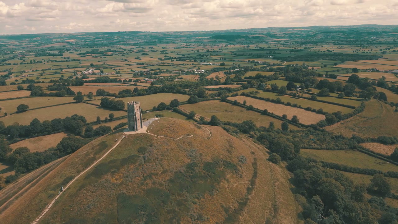
Aerial View of Glastonbury Tor

Aerial View of Glastonbury Tor

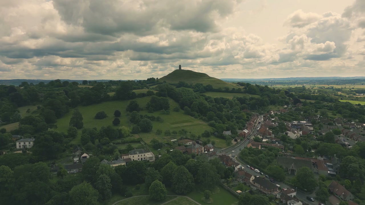
Aerial View of Glastonbury Tor and Village

Aerial View of Glastonbury Tor and Village

Aerial View of Yellow Fields and Wind Turbines

Aerial View of Yellow Fields and Wind Turbines

Aerial View of Wind Turbines and Rapeseed Fields

Aerial View of Wind Turbines and Rapeseed Fields

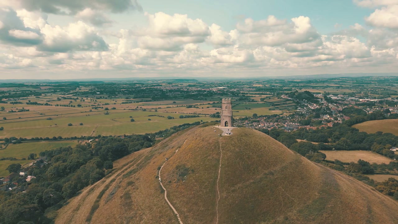
Aerial View of Glastonbury Tor

Aerial View of Glastonbury Tor

Aerial View of Glastonbury Tor

Aerial View of Glastonbury Tor

Aerial View of Glastonbury Tor

Aerial View of Glastonbury Tor

Aerial View of Glastonbury Tor and Town

Aerial View of Glastonbury Tor and Town

Winter Aerial View of Lake Zell and Snowy Mountains

Winter Aerial View of Lake Zell and Snowy Mountains

Aerial Winter View of Lake Zell and Zell am See

Aerial Winter View of Lake Zell and Zell am See

Winter Aerial View of Kaprun Valley with Power Pylon

Winter Aerial View of Kaprun Valley with Power Pylon