Uppbeat

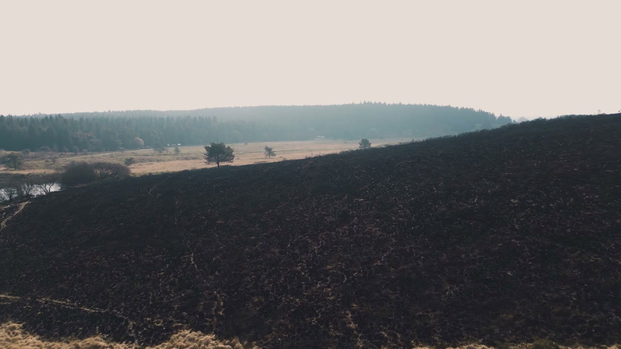
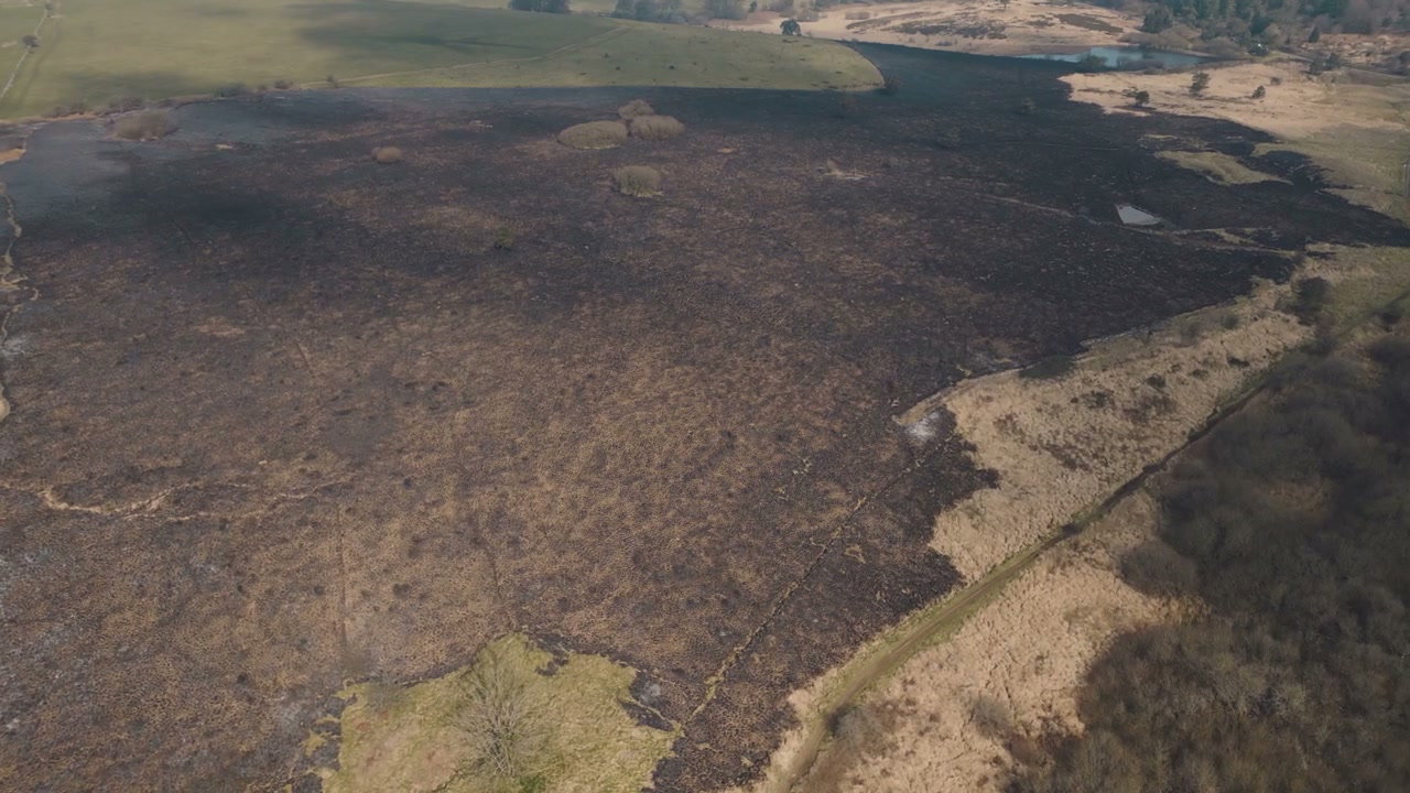
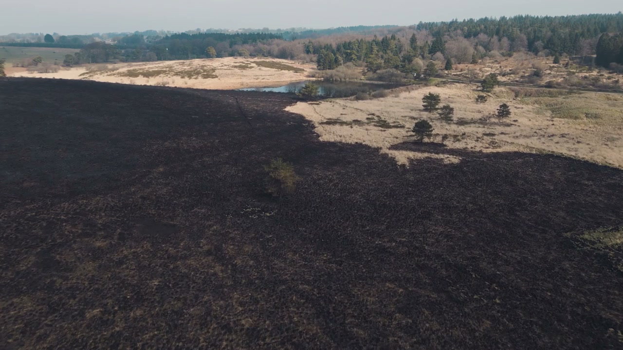
Aerial View of Scorched Moorland After Wildfire

Arthur Cauty

An aerial drone shot reveals a vast expanse of scorched moorland, showcasing the dark, burnt aftermath of a wildfire with some brown patches and a small pond visible.

From this shoot

Burnt Moorland After Wildfire From Above

Burnt Moorland After Wildfire From Above

Aerial View Burnt Moorland After Wildfire

Aerial View Burnt Moorland After Wildfire

Burnt Landscape After Wildfire in Somerset

Burnt Landscape After Wildfire in Somerset

Aerial View of Scorched Wildfire Land

Aerial View of Scorched Wildfire Land

You may also like

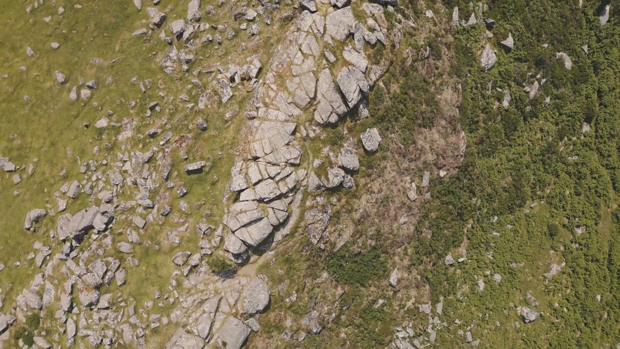
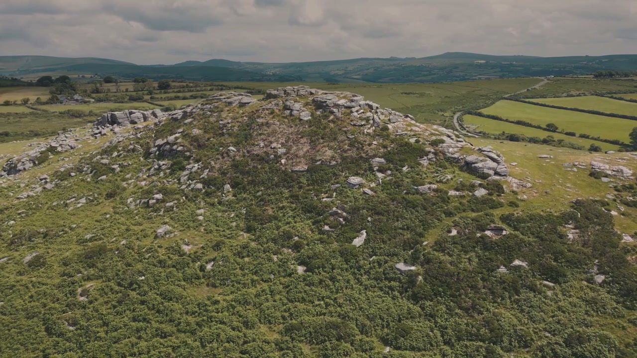
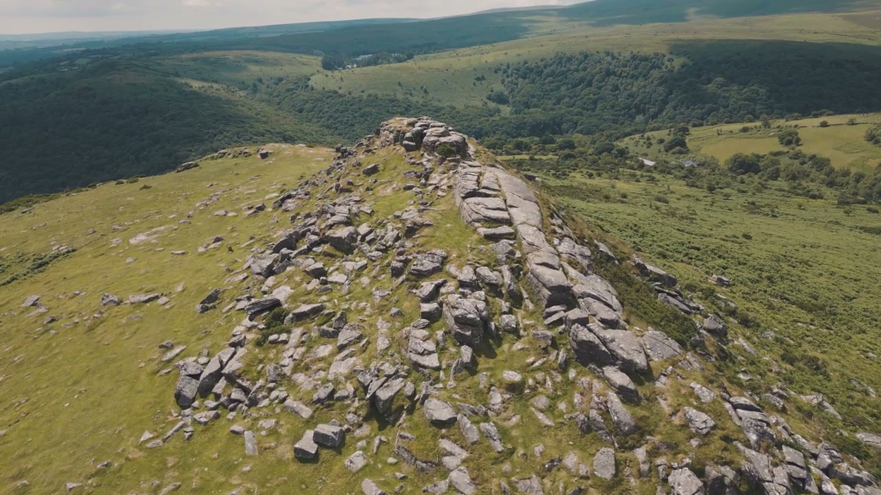
Aerial View of Sharp Tor Rock Formation

Aerial View of Sharp Tor Rock Formation

Aerial View of Sharp Tor, Dartmoor

Aerial View of Sharp Tor, Dartmoor

Aerial View of New Forest Heather Moorland

Aerial View of New Forest Heather Moorland

Aerial View of Car Driving on Moorland Road

Aerial View of Car Driving on Moorland Road

Aerial View of Cars Driving on Moorland Road

Aerial View of Cars Driving on Moorland Road

New Forest Moorland Aerial View

New Forest Moorland Aerial View

New Forest Heather Moorland Aerial View

New Forest Heather Moorland Aerial View

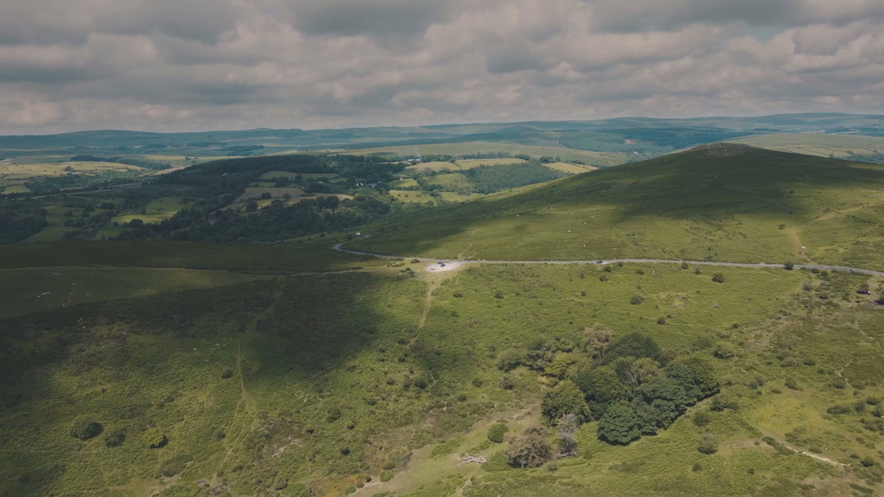
Aerial View of Dartmoor Hills and Road

Aerial View of Dartmoor Hills and Road

Aerial View of Sharp Tor Rocky Outcrop

Aerial View of Sharp Tor Rocky Outcrop

Aerial View of Icebergs in Glacier Lagoon

Aerial View of Icebergs in Glacier Lagoon

Aerial View of Glacier with Volcanic Ash

Aerial View of Glacier with Volcanic Ash

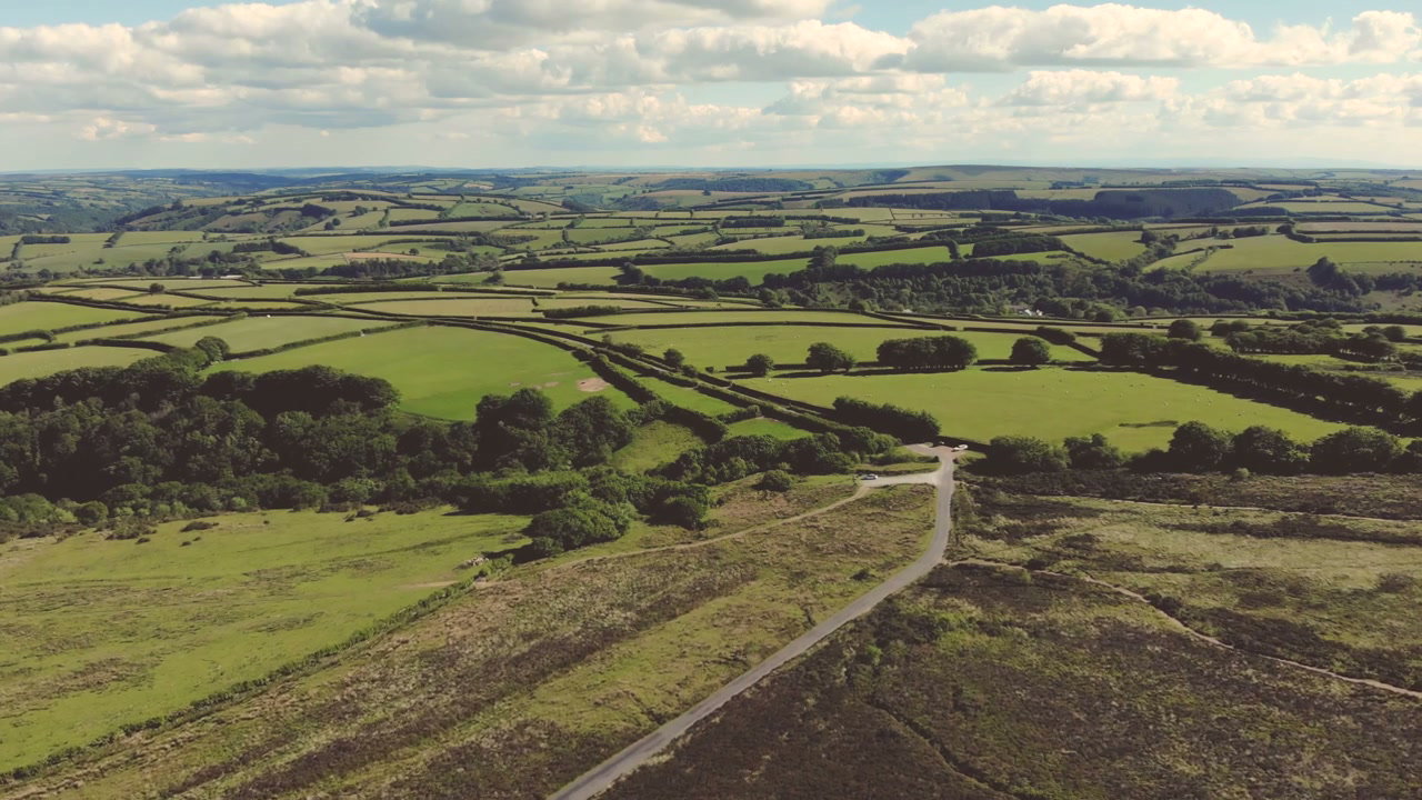
Aerial View of Green Countryside with Road

Aerial View of Green Countryside with Road