Uppbeat

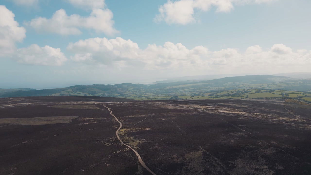
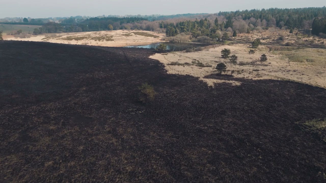
Aerial View of Burnt Landscape with Path, Somerset

Arthur Cauty

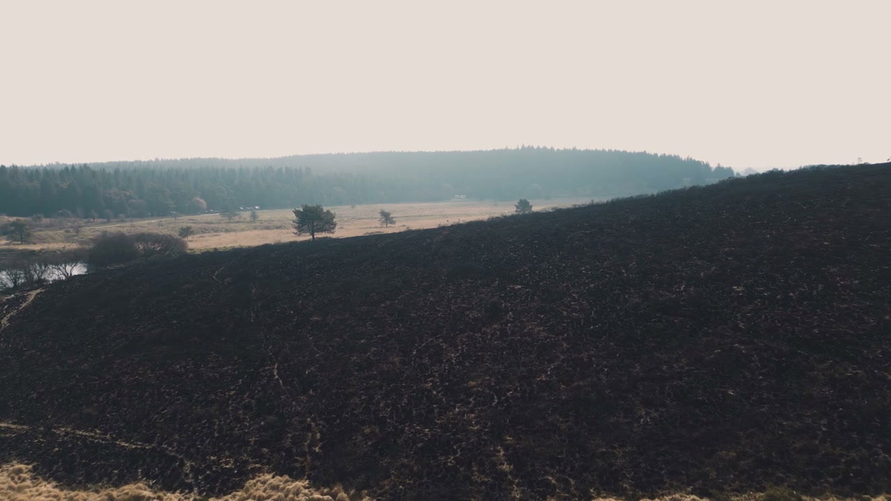
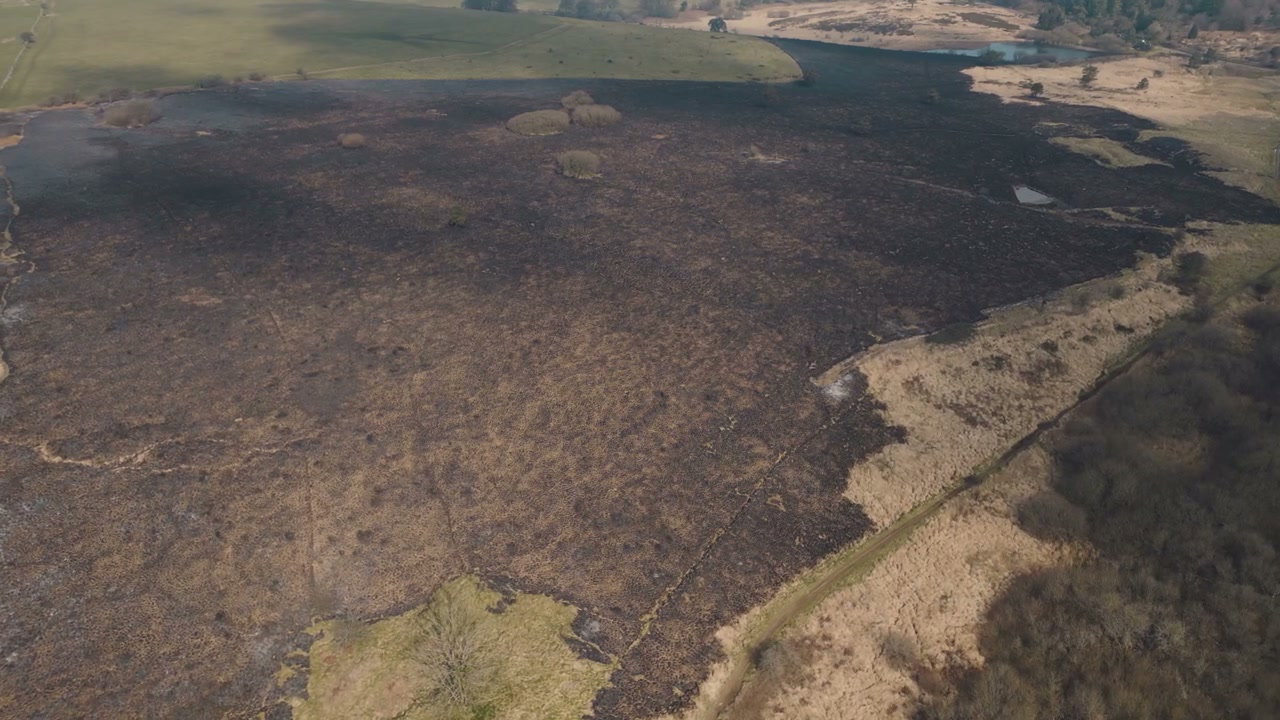
An aerial drone shot tracks forward over a dark, scorched landscape extensively damaged by wildfire in Somerset, England, featuring a winding path through the burnt vegetation.

From this shoot

Burnt Moorland After Wildfire From Above

Burnt Moorland After Wildfire From Above

Aerial View Burnt Moorland After Wildfire

Aerial View Burnt Moorland After Wildfire

Burnt Landscape After Wildfire in Somerset

Burnt Landscape After Wildfire in Somerset

Aerial View of Scorched Wildfire Land

Aerial View of Scorched Wildfire Land

You may also like

Aerial View of Glacier with Volcanic Ash

Aerial View of Glacier with Volcanic Ash

Aerial View of Glastonbury Tor

Aerial View of Glastonbury Tor

Aerial View of Dry Landscape with Scattered Trees

Aerial View of Dry Landscape with Scattered Trees

Aerial View of Forest with Dying Trees

Aerial View of Forest with Dying Trees

Aerial View of Large Iceberg with Dark Layers

Aerial View of Large Iceberg with Dark Layers

Drone View of Rocky Landscape with Snow Mountains

Drone View of Rocky Landscape with Snow Mountains

Aerial View of Exmoor Moorland and Coastline

Aerial View of Exmoor Moorland and Coastline

Aerial View of Green Park and Distant Town

Aerial View of Green Park and Distant Town

Aerial View of Coastal Cliffs and Winding Paths

Aerial View of Coastal Cliffs and Winding Paths

Aerial View of Icebergs in Glacier Lagoon

Aerial View of Icebergs in Glacier Lagoon

Aerial View of Dense Green Forest

Aerial View of Dense Green Forest

Aerial View of Flooded Agricultural Fields

Aerial View of Flooded Agricultural Fields